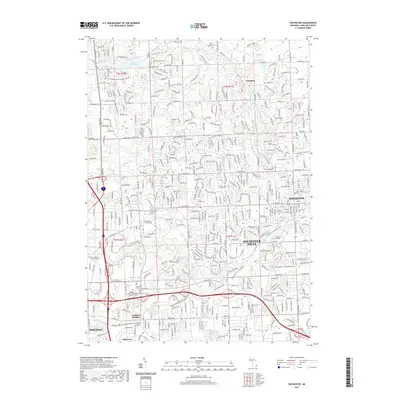
2019 Map of Rochester
USGS Topo · Published 2019About this map
Rochester and Rochester Hills anchor this detailed survey of northeastern Oakland County, where the suburban landscape meets significant preserved natural areas. The Clinton River and its tributaries, including Paint Creek and Galloway Creek, form a complex hydrological network that historically powered local development. This 2019 data highlights the transformation of the region's transportation infrastructure, most notably through the Macomb Orchard Rail Trail, which follows the alignment of former railroad corridors through the heart of the community.
Find a feature on this map
31 named features on this map. Tap any name to fly to it.
Don’t see what you’re looking for? This feature index may not catch every label — zoom into the map to look around manually.
Map Details
Editions of this 2019 Rochester Map
This is the sole edition of this map. No revisions or reprints were ever made.
Other maps of this area

1907 · Pontiac
USGS Topo · 1:62,500

1908 · Rochester
USGS Topo · 1:62,500

1936 · Warren
USGS Topo · 1:31,680

1936 · Birmingham
USGS Topo · 1:31,680

1936 · Rochester
USGS Topo · 1:31,680

1936 · Washington
USGS Topo · 1:31,680

1936 · Pontiac South
USGS Topo · 1:31,680

1936 · Pontiac North
USGS Topo · 1:31,680

1943 · Pontiac South
USGS Topo · 1:24,000

1943 · Pontiac North
USGS Topo · 1:24,000
Featured Places
- Rochester Hills, MI
- Pontiac, MI
- Orion Charter Township, MI
- Auburn Hills, MI
- Oakland Charter Township, MI