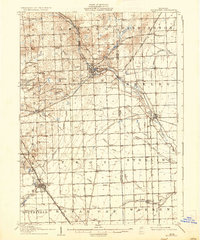
1908 Map of Rochester
USGS Topo · Published 1936About this map
Birmingham and Rochester emerge as key hubs in this early twentieth-century landscape, connected by an intricate network of transportation including the Detroit United Electric RR and Woodward Ave. The map captures the agricultural and industrial character of Oakland Co and Macomb Co, where small settlements like Big Beaver and Goodison are surrounded by a dense grid of rural schools such as Snell School, Fox School, and Stone School.
Find a feature on this map
56 named features on this map. Tap any name to fly to it.
Don’t see what you’re looking for? This feature index may not catch every label — zoom into the map to look around manually.
Map Details
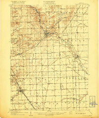
Editions of this 1908 Rochester Map
3 editions found
Other maps of this area

1905 · Wayne
USGS Topo · 1:62,500

1905 · Detroit
USGS Topo · 1:62,500

1905 · Grosse Pointe
USGS Topo · 1:62,500

1907 · Pontiac
USGS Topo · 1:62,500

1908 · Rochester
USGS Topo · 1:62,500

1912 · Mt Clemens
USGS Topo · 1:62,500

1912 · Wayne
USGS Topo · 1:62,500

1914 · Armada
USGS Topo · 1:62,500

1918 · Detroit
USGS Topo · 1:62,500

1918 · Grosse Pointe
USGS Topo · 1:62,500