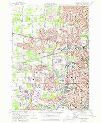
1971 Map of Rochester West
USGS Topo · Published 1978About this map
The Erie Canal cuts through the suburban expansion of western Monroe County, serving as a historic spine between the rising residential tracts of Gates and Greece. This 1970s record shows the industrial and transit landscape of Rochester in transition, where the Conrail lines intersect with the sprawling Rochester-Monroe Co Airport and major thoroughfares like the Lake Ontario State Parkway. The map is particularly dense with community landmarks, featuring an extensive network of parochial schools and parish churches such as St Lawrence Sch and Holy Apostles Sch.
Find a feature on this map
117 named features on this map. Tap any name to fly to it.
Don’t see what you’re looking for? This feature index may not catch every label — zoom into the map to look around manually.
Map Details
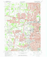
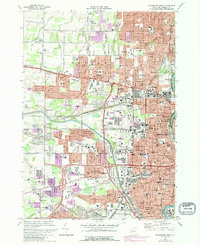
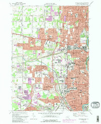
Editions of this 1971 Rochester West Map
4 editions found
Other maps of this area

1895 · Rochester
USGS Topo · 1:62,500

1895 · Ontario Beach
USGS Topo · 1:62,500

1898 · Rochester
USGS Topo · 1:62,500

1899 · Hamlin
USGS Topo · 1:62,500

1899 · Ontario Beach
USGS Topo · 1:62,500

1899 · Brockport
USGS Topo · 1:62,500

1912 · Rochester
USGS Topo · 1:62,500

1912 · Ontario Beach
USGS Topo · 1:62,500

1920 · Rochester
USGS Topo · 1:62,500

1931 · Mendon Ponds
USGS Topo · 1:24,000