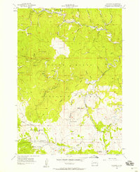
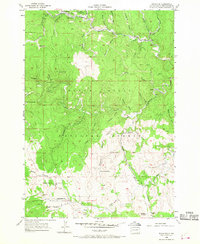
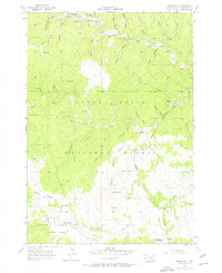
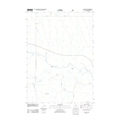
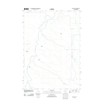
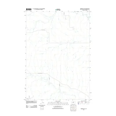
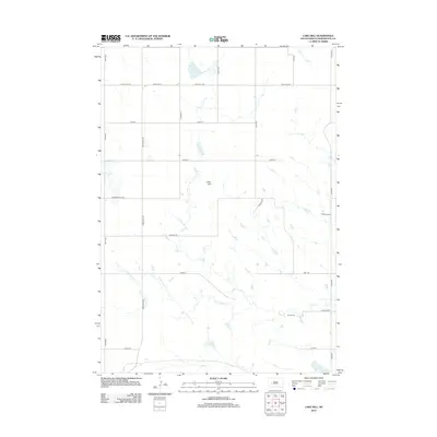
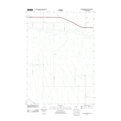
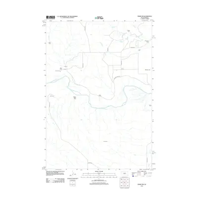
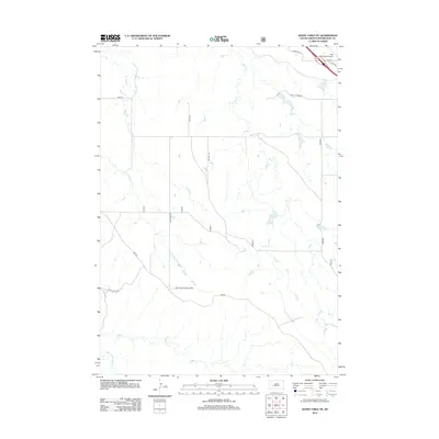
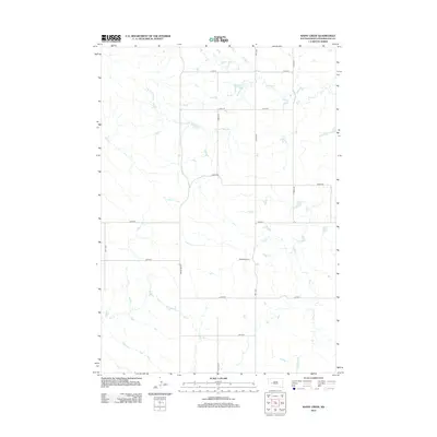
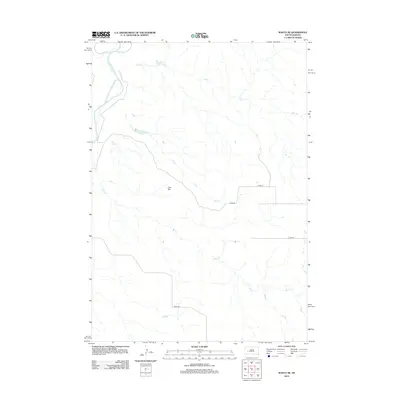
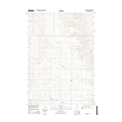
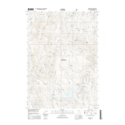
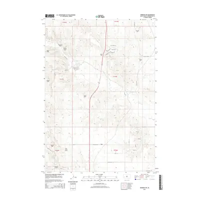
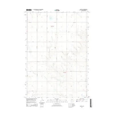
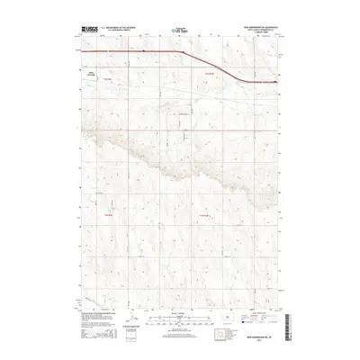
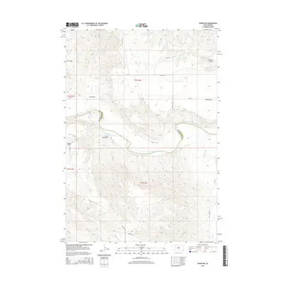
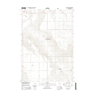
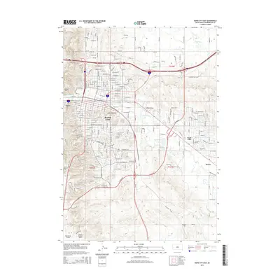
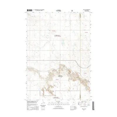
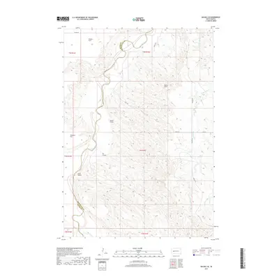
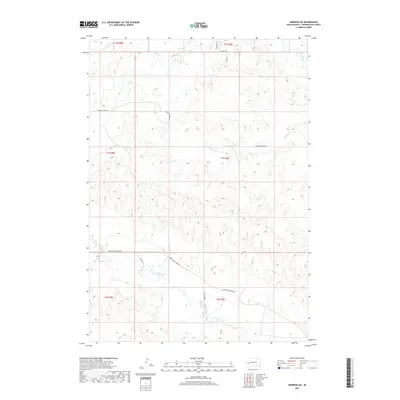
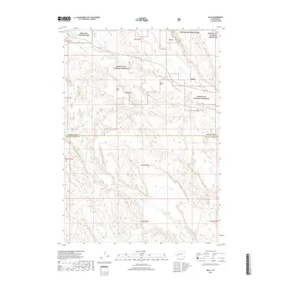
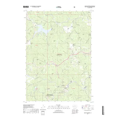
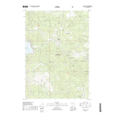
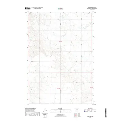
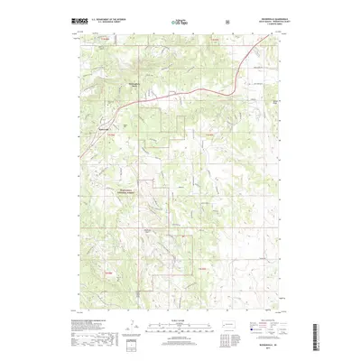
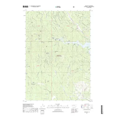
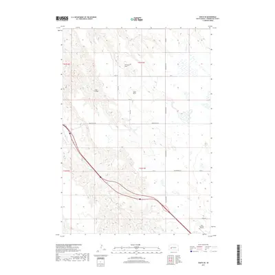
1956 Map of Rochford
USGS Topo · Published 1958About this map
The rugged gulches and mining history of Pennington County are meticulously detailed in this mid-century study of the Black Hills National Forest. Settlement patterns follow the winding tracks of the Chicago Burlington and Quincy railroad, which threads through the narrow valleys of Rapid Creek and Slate Creek. Local industry and community life are grounded in landmarks such as the Standby Mine near Rochford, the Lookout Mill, and the Cuttys Ark Mine.
Find a feature on this map
48 named features on this map. Tap any name to fly to it.
Don’t see what you’re looking for? This feature index may not catch every label — zoom into the map to look around manually.
Map Details
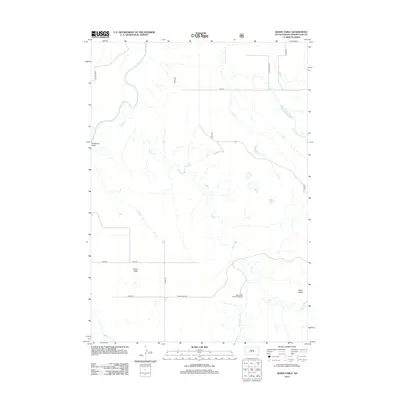
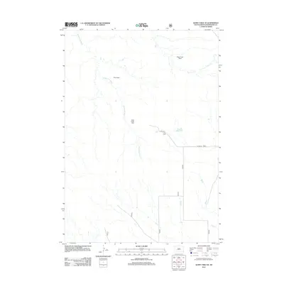
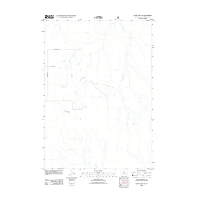
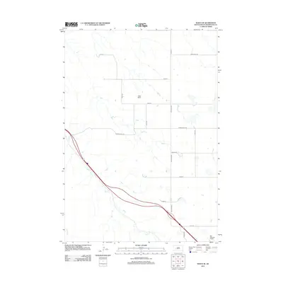
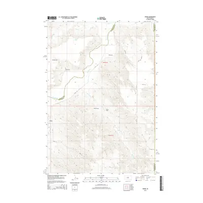
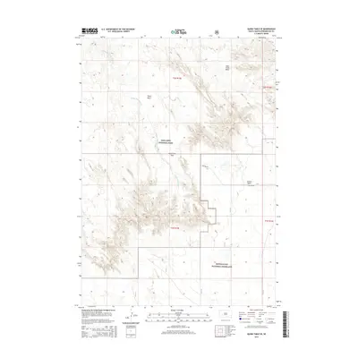
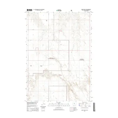
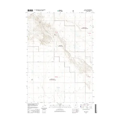
Editions of this 1956 Rochford Map
4 editions found
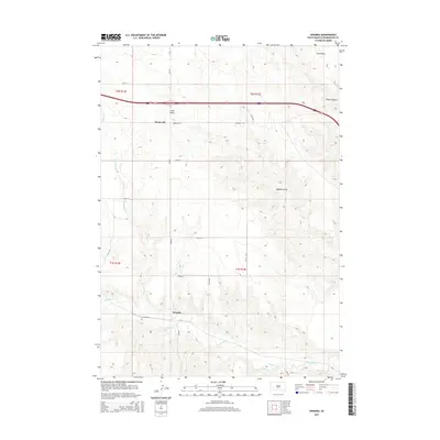
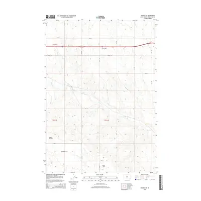
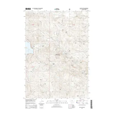
Historical Maps of Redfern Through Time
225 maps found

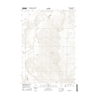
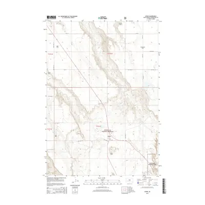
1950 Imlay
Pennington County, SD

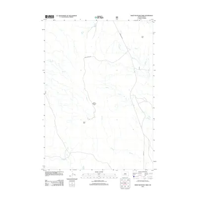
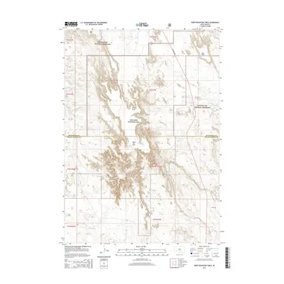
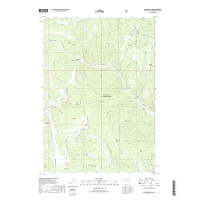
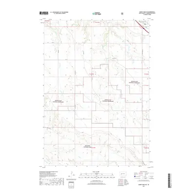
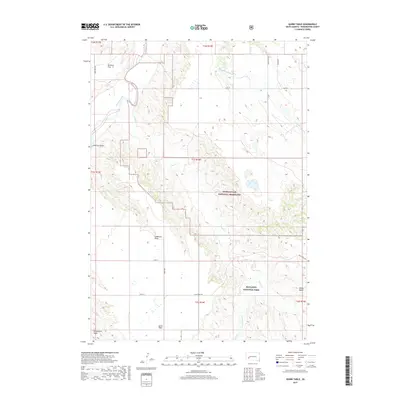
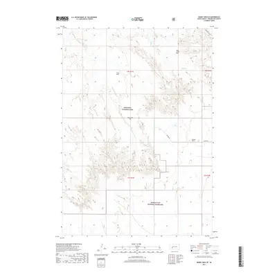
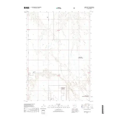
1950 Sheep Mountain Table
Pennington County, SD

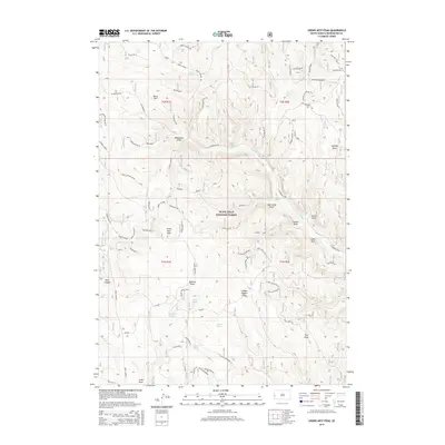
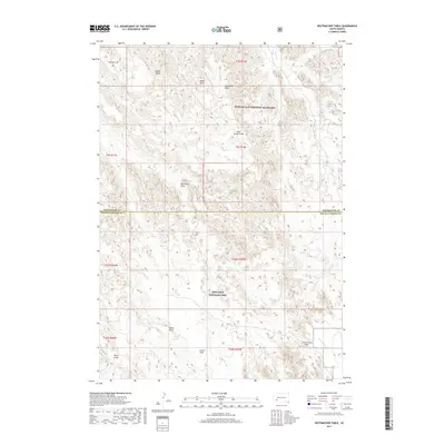
1951 Heutmacher Table
Pennington County, SD

1953 Caputa NE
Pennington County, SD

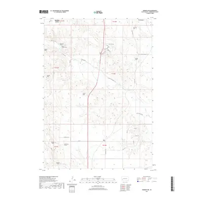
1953 Hermosa NE
Pennington County, SD

1953 Hermosa NW
Pennington County, SD

1953 New Underwood SW
Pennington County, SD

1953 Rapid City East
Pennington County, SD

1953 Rapid City West
Pennington County, SD

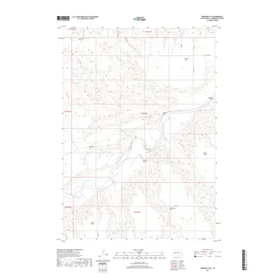
1954 Brennan Flat
Pennington County, SD

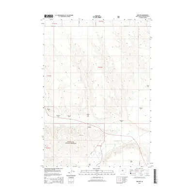
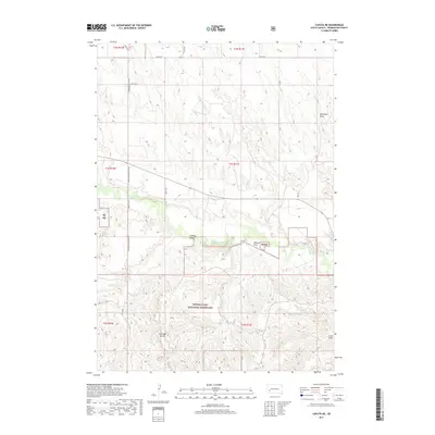
1954 Creston
Pennington County, SD

1954 Dalzell SE
Pennington County, SD

1954 Mount Rushmore
Pennington County, SD

1954 Mount Rushmore
Pennington County, SD

1954 Owanka
Pennington County, SD

1954 Pactola Dam
Pennington County, SD

1954 Quinn Table
Pennington County, SD

1954 Rockerville
Pennington County, SD

1954 Scenic
Pennington County, SD

1954 Scenic SW
Pennington County, SD

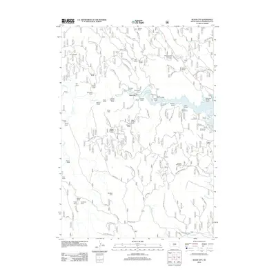
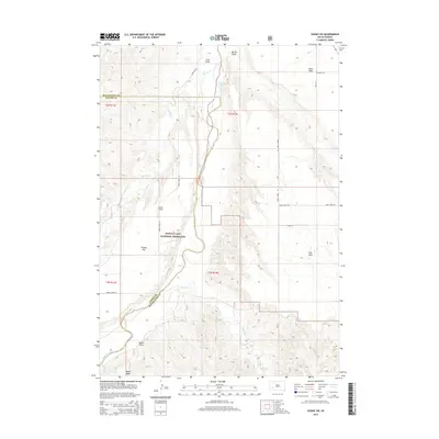
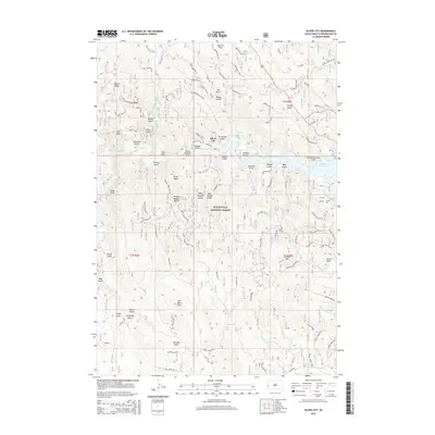
1954 Silver City
Pennington County, SD

1954 Wasta NE
Pennington County, SD

1954 Wasta SE
Pennington County, SD

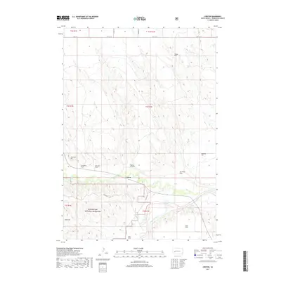
1955 Creighton
Pennington County, SD

1955 Pedro NW
Pennington County, SD

1955 Pedro
Pennington County, SD

1955 Pedro SE
Pennington County, SD

1956 Crows Nest Peak
Pennington County, SD

1956 Deerfield
Pennington County, SD

1956 Ditch Creek
Pennington County, SD

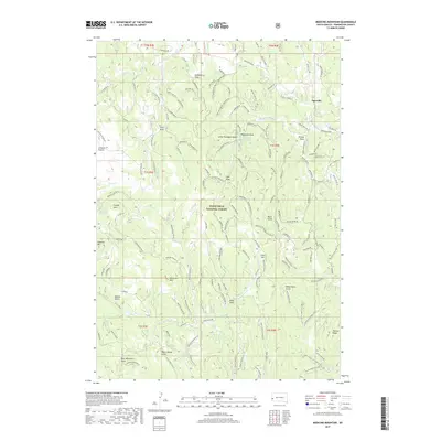
1956 Medicine Mountain
Pennington County, SD

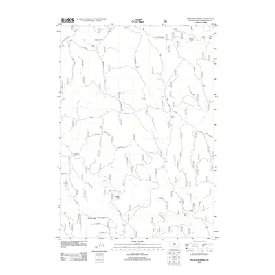
1956 Preacher Spring
Pennington County, SD

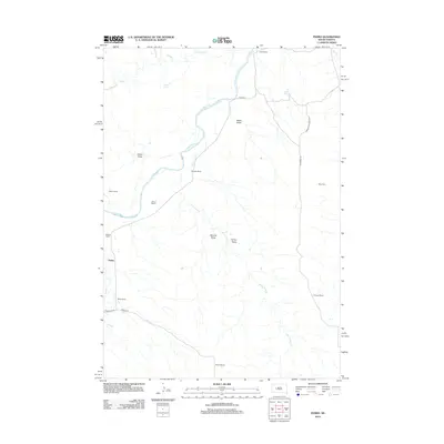
1956 Rochford
Pennington County, SD

1957 Owanka SW
Pennington County, SD

1960 Quinn Table NE
Pennington County, SD

1960 Quinn Table SE
Pennington County, SD

1960 Quinn Table SW
Pennington County, SD

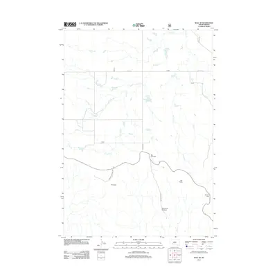
1960 Wall SE
Pennington County, SD

1960 Wall SW
Pennington County, SD

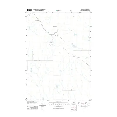
1961 Wall NE
Pennington County, SD

1983 Elm Creek Ranch
Pennington County, SD

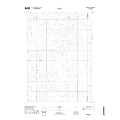
1983 Horse Tooth
Pennington County, SD

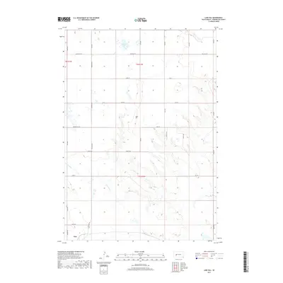
1983 Lake Hill
Pennington County, SD

1984 Rainy Creek
Pennington County, SD

1998 Deerfield
Pennington County, SD

1998 Medicine Mountain
Pennington County, SD

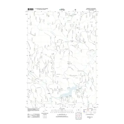
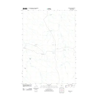
1998 Rochford
Pennington County, SD
2012 Brennan Flat
Pennington County, SD
2012 Caputa NE
Pennington County, SD
2012 Creighton
Pennington County, SD
2012 Creston
Pennington County, SD
2012 Crows Nest Peak
Pennington County, SD
2012 Dalzell SE
Pennington County, SD
2012 Deerfield
Pennington County, SD
2012 Ditch Creek
Pennington County, SD
2012 Elm Creek Ranch
Pennington County, SD
2012 Hermosa NE
Pennington County, SD

2012 Hermosa NW
Pennington County, SD
2012 Horse Tooth
Pennington County, SD
2012 Hutmacher Table
Pennington County, SD
2012 Imlay
Pennington County, SD
2012 Lake Hill
Pennington County, SD
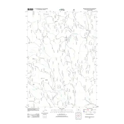
2012 Medicine Mountain
Pennington County, SD
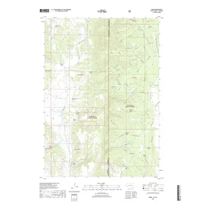
2012 Moon
Pennington County, SD
2012 Mount Rushmore
Pennington County, SD
2012 New Underwood SW
Pennington County, SD
2012 Owanka
Pennington County, SD
2012 Owanka SW
Pennington County, SD
2012 Pactola Dam
Pennington County, SD
2012 Pedro NW
Pennington County, SD
2012 Pedro
Pennington County, SD
2012 Pedro SE
Pennington County, SD
2012 Preacher Spring
Pennington County, SD
2012 Quinn Table NE
Pennington County, SD
2012 Quinn Table
Pennington County, SD
2012 Quinn Table SE
Pennington County, SD
2012 Quinn Table SW
Pennington County, SD
2012 Rainy Creek
Pennington County, SD

2012 Rapid City East
Pennington County, SD

2012 Rapid City West
Pennington County, SD
2012 Rochford
Pennington County, SD

2012 Rockerville
Pennington County, SD
2012 Scenic
Pennington County, SD
2012 Scenic SW
Pennington County, SD
2012 Sheep Mountain Table
Pennington County, SD
2012 Silver City
Pennington County, SD

2012 Wall NE
Pennington County, SD
2012 Wall SE
Pennington County, SD
2012 Wall SW
Pennington County, SD
2012 Wasta NE
Pennington County, SD
2012 Wasta SE
Pennington County, SD
2015 Brennan Flat
Pennington County, SD
2015 Caputa NE
Pennington County, SD
2015 Creighton
Pennington County, SD
2015 Creston
Pennington County, SD
2015 Crows Nest Peak
Pennington County, SD
2015 Dalzell SE
Pennington County, SD
2015 Deerfield
Pennington County, SD
2015 Ditch Creek
Pennington County, SD
2015 Elm Creek Ranch
Pennington County, SD
2015 Hermosa NE
Pennington County, SD
2015 Hermosa NW
Pennington County, SD
2015 Horse Tooth
Pennington County, SD
2015 Hutmacher Table
Pennington County, SD
2015 Imlay
Pennington County, SD
2015 Lake Hill
Pennington County, SD
2015 Medicine Mountain
Pennington County, SD
2015 Moon
Pennington County, SD
2015 Mount Rushmore
Pennington County, SD
2015 New Underwood SW
Pennington County, SD
2015 Owanka
Pennington County, SD
2015 Owanka SW
Pennington County, SD
2015 Pactola Dam
Pennington County, SD
2015 Pedro NW
Pennington County, SD
2015 Pedro
Pennington County, SD
2015 Pedro SE
Pennington County, SD

2015 Preacher Spring
Pennington County, SD
2015 Quinn Table NE
Pennington County, SD
2015 Quinn Table
Pennington County, SD
2015 Quinn Table SE
Pennington County, SD
2015 Quinn Table SW
Pennington County, SD
2015 Rainy Creek
Pennington County, SD
2015 Rapid City East
Pennington County, SD
2015 Rapid City West
Pennington County, SD
2015 Rochford
Pennington County, SD
2015 Rockerville
Pennington County, SD
2015 Scenic
Pennington County, SD
2015 Scenic SW
Pennington County, SD
2015 Sheep Mountain Table
Pennington County, SD
2015 Silver City
Pennington County, SD

2015 Wall NE
Pennington County, SD
2015 Wall SE
Pennington County, SD
2015 Wall SW
Pennington County, SD
2015 Wasta NE
Pennington County, SD
2015 Wasta SE
Pennington County, SD
2017 Brennan Flat
Pennington County, SD
2017 Caputa NE
Pennington County, SD

2017 Creighton
Pennington County, SD
2017 Creston
Pennington County, SD
2017 Crows Nest Peak
Pennington County, SD
2017 Dalzell SE
Pennington County, SD
2017 Deerfield
Pennington County, SD
2017 Ditch Creek
Pennington County, SD
2017 Elm Creek Ranch
Pennington County, SD
2017 Hermosa NE
Pennington County, SD
2017 Hermosa NW
Pennington County, SD
2017 Horse Tooth
Pennington County, SD
2017 Hutmacher Table
Pennington County, SD
2017 Imlay
Pennington County, SD
2017 Lake Hill
Pennington County, SD
2017 Medicine Mountain
Pennington County, SD
2017 Moon
Pennington County, SD
2017 Mount Rushmore
Pennington County, SD
2017 New Underwood SW
Pennington County, SD
2017 Owanka
Pennington County, SD
2017 Owanka SW
Pennington County, SD
2017 Pactola Dam
Pennington County, SD
2017 Pedro NW
Pennington County, SD
2017 Pedro
Pennington County, SD

2017 Pedro SE
Pennington County, SD
2017 Preacher Spring
Pennington County, SD
2017 Quinn Table NE
Pennington County, SD
2017 Quinn Table
Pennington County, SD
2017 Quinn Table SE
Pennington County, SD
2017 Quinn Table SW
Pennington County, SD
2017 Rainy Creek
Pennington County, SD
2017 Rapid City East
Pennington County, SD
2017 Rapid City West
Pennington County, SD
2017 Rochford
Pennington County, SD
2017 Rockerville
Pennington County, SD
2017 Scenic
Pennington County, SD
2017 Scenic SW
Pennington County, SD
2017 Sheep Mountain Table
Pennington County, SD
2017 Silver City
Pennington County, SD

2017 Wall NE
Pennington County, SD
2017 Wall SE
Pennington County, SD
2017 Wall SW
Pennington County, SD
2017 Wasta NE
Pennington County, SD
2017 Wasta SE
Pennington County, SD

2021 Brennan Flat
Pennington County, SD

2021 Caputa NE
Pennington County, SD
2021 Creighton
Pennington County, SD

2021 Creston
Pennington County, SD

2021 Crows Nest Peak
Pennington County, SD
2021 Dalzell SE
Pennington County, SD

2021 Deerfield
Pennington County, SD

2021 Ditch Creek
Pennington County, SD

2021 Elm Creek Ranch
Pennington County, SD

2021 Hermosa NE
Pennington County, SD

2021 Hermosa NW
Pennington County, SD

2021 Horse Tooth
Pennington County, SD

2021 Hutmacher Table
Pennington County, SD

2021 Imlay
Pennington County, SD

2021 Lake Hill
Pennington County, SD

2021 Medicine Mountain
Pennington County, SD

2021 Moon
Pennington County, SD

2021 Mount Rushmore
Pennington County, SD

2021 New Underwood SW
Pennington County, SD

2021 Owanka
Pennington County, SD

2021 Owanka SW
Pennington County, SD

2021 Pactola Dam
Pennington County, SD

2021 Pedro NW
Pennington County, SD

2021 Pedro
Pennington County, SD

2021 Pedro SE
Pennington County, SD

2021 Preacher Spring
Pennington County, SD

2021 Quinn Table NE
Pennington County, SD

2021 Quinn Table
Pennington County, SD

2021 Quinn Table SE
Pennington County, SD

2021 Quinn Table SW
Pennington County, SD

2021 Rainy Creek
Pennington County, SD

2021 Rapid City East
Pennington County, SD

2021 Rapid City West
Pennington County, SD

2021 Rochford
Pennington County, SD

2021 Rockerville
Pennington County, SD

2021 Scenic
Pennington County, SD

2021 Scenic SW
Pennington County, SD

2021 Sheep Mountain Table
Pennington County, SD

2021 Silver City
Pennington County, SD

2021 Wall NE
Pennington County, SD

2021 Wall SE
Pennington County, SD

2021 Wall SW
Pennington County, SD

2021 Wasta NE
Pennington County, SD

2021 Wasta SE
Pennington County, SD

2023 Creighton
Pennington County, SD

2023 Dalzell SE
Pennington County, SD