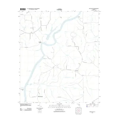
2012 Map of Rock Bluff
USGS Topo · Published 2012About this map
The Apalachicola River carves a sweeping path through this portion of Liberty County, defining a landscape where river landings and creek systems dictated the early patterns of settlement. Historical river access points like Aspalaga Landing, Ocheesee Landing, and Rock Bluff Landing speak to the era when the river was the primary artery for trade and transport. On the high ground east of the water, Torreya State Park preserves the unique bluffs and ravines that distinguish this region from the typical Florida flatwoods.
Find a feature on this map
62 named features on this map. Tap any name to fly to it.
Don’t see what you’re looking for? This feature index may not catch every label — zoom into the map to look around manually.
Map Details
Editions of this 2012 Rock Bluff Map
This is the sole edition of this map. No revisions or reprints were ever made.
Other maps of this area

1945 · Blountstown
USGS Topo · 1:31,680

1945 · Hosford
USGS Topo · 1:31,680

1945 · Bristol
USGS Topo · 1:31,680

1952 · Cypress
USGS Topo · 1:24,000

1952 · Altha East
USGS Topo · 1:24,000

1954 · Sneads
USGS Topo · 1:24,000

1954 · Tallahassee
USGS Topo · 1:250,000

1955 · Rock Bluff
USGS Topo · 1:24,000

1955 · Sycamore
USGS Topo · 1:24,000

1955 · Chattahoochee
USGS Topo · 1:24,000