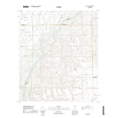
2018 Map of Rock Bluff
USGS Topo · Published 2018About this map
The Apalachicola River carves a winding path through this corner of Northwest Florida, serving as a natural boundary for Liberty, Gadsden, Jackson, and Calhoun counties. The settlement of Rock Bluff sits atop the high eastern bank, overlooking a complex network of wetlands and creeks that feed into the main channel. To the south, the community of Sweetwater is defined by its proximity to Sweetwater Cr and Big Sweetwater Cr. The topography is notably varied for the region, rising to Hickory Hill and transitioning from riparian lowlands to upland ridges cut by drainages like Rock Cr and Short Cr. Local landmarks such as Blue Spring and the old route of Ocheesee Landing Rd point to the area's long-standing reliance on its riverine geography and natural springs.
Find a feature on this map
70 named features on this map. Tap any name to fly to it.
Don’t see what you’re looking for? This feature index may not catch every label — zoom into the map to look around manually.
Map Details
Editions of this 2018 Rock Bluff Map
This is the sole edition of this map. No revisions or reprints were ever made.
Other maps of this area

1945 · Blountstown
USGS Topo · 1:31,680

1945 · Hosford
USGS Topo · 1:31,680

1945 · Bristol
USGS Topo · 1:31,680

1952 · Cypress
USGS Topo · 1:24,000

1952 · Altha East
USGS Topo · 1:24,000

1954 · Sneads
USGS Topo · 1:24,000

1954 · Tallahassee
USGS Topo · 1:250,000

1955 · Rock Bluff
USGS Topo · 1:24,000

1955 · Sycamore
USGS Topo · 1:24,000

1955 · Chattahoochee
USGS Topo · 1:24,000