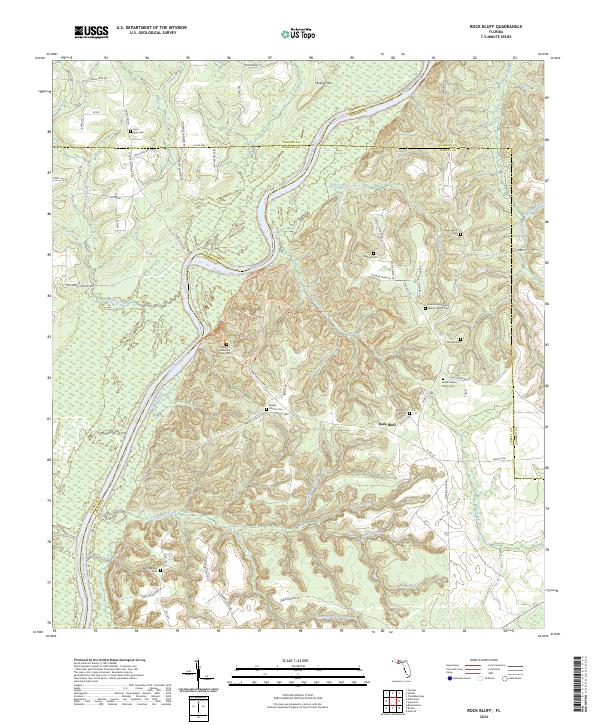
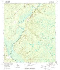
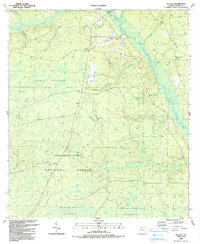
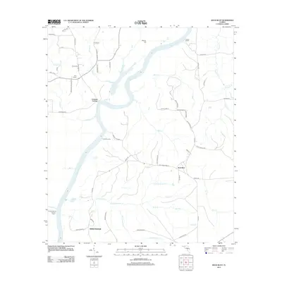
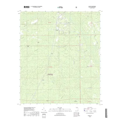
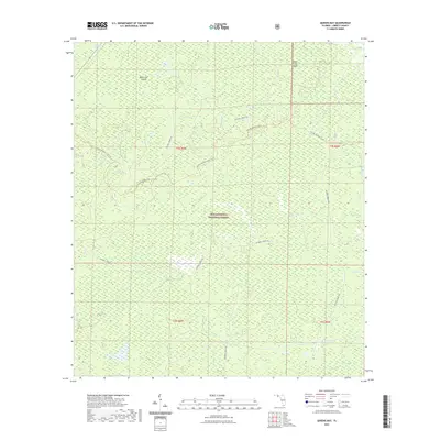
2024 Map of Rock Bluff
USGS Topo · Published 2024About this map
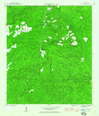
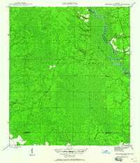
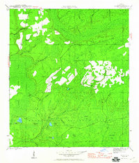
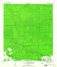
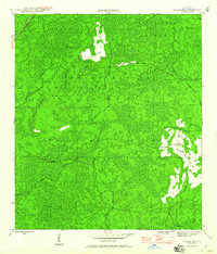
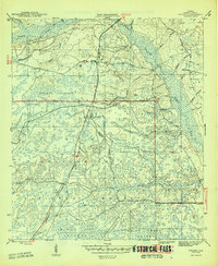
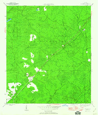
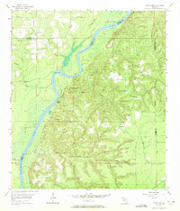
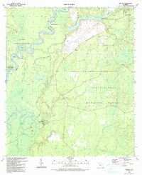
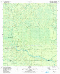
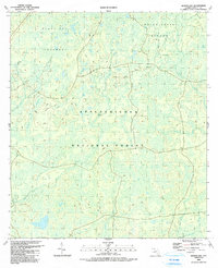
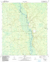
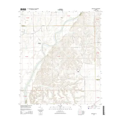
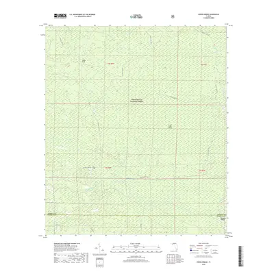
The Apalachicola River carves a deep path through the panhandle, separating the bluff lands of Liberty County from the low marshes of Calhoun County. In this area of the Florida Panhandle, the terrain rises sharply from the riverbanks to features like Hickory Hill, creating a landscape defined by significant elevation changes rare for the state. Torreya State Park preserves much of this riverside environment, including the sobering Torreya State Park Slave Cem.
Find a feature on this map
83 named features on this map. Tap any name to fly to it.
Don’t see what you’re looking for? This feature index may not catch every label — zoom into the map to look around manually.
Map Details
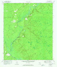
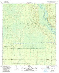
Editions of this 2024 Rock Bluff Map
This is the sole edition of this map. No revisions or reprints were ever made.
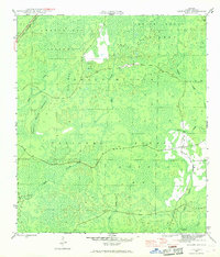
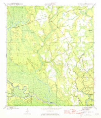
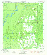
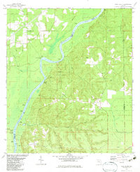
Historical Maps of Rock Bluff Through Time
79 maps found
1944 Queens Bay
Liberty County, FL
1945 Kennedy Creek
Liberty County, FL
1945 Orange
Liberty County, FL

1945 Smith Creek
Liberty County, FL
1945 Telogia
Liberty County, FL
1945 Thousand Yard Bay
Liberty County, FL
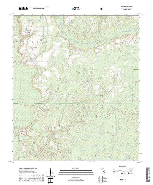
1945 Woods
Liberty County, FL
1946 Owens Bridge
Liberty County, FL
1946 Queens Bay
Liberty County, FL
1946 Telogia
Liberty County, FL
1946 Wilma
Liberty County, FL
1955 Rock Bluff
Liberty County, FL
1968 Ward
Liberty County, FL
1972 Ward
Liberty County, FL
1982 Rock Bluff
Liberty County, FL
1990 Kennedy Creek
Liberty County, FL
1990 Orange
Liberty County, FL
1990 Owens Bridge
Liberty County, FL
1990 Queens Bay
Liberty County, FL
1990 Smith Creek
Liberty County, FL
1990 Telogia
Liberty County, FL
1990 Thousand Yard Bay
Liberty County, FL
1990 Wilma
Liberty County, FL
1990 Woods
Liberty County, FL
2012 Kennedy Creek
Liberty County, FL
2012 Orange
Liberty County, FL
2012 Owens Bridge
Liberty County, FL
2012 Queens Bay
Liberty County, FL
2012 Rock Bluff
Liberty County, FL
2012 Smith Creek
Liberty County, FL
2012 Telogia
Liberty County, FL
2012 Thousand Yard Bay
Liberty County, FL
2012 Ward
Liberty County, FL
2012 Wilma
Liberty County, FL
2012 Woods
Liberty County, FL
2015 Kennedy Creek
Liberty County, FL
2015 Orange
Liberty County, FL
2015 Owens Bridge
Liberty County, FL
2015 Queens Bay
Liberty County, FL
2015 Rock Bluff
Liberty County, FL
2015 Smith Creek
Liberty County, FL
2015 Telogia
Liberty County, FL
2015 Thousand Yard Bay
Liberty County, FL
2015 Ward
Liberty County, FL
2015 Wilma
Liberty County, FL
2015 Woods
Liberty County, FL
2018 Kennedy Creek
Liberty County, FL
2018 Orange
Liberty County, FL
2018 Owens Bridge
Liberty County, FL
2018 Queens Bay
Liberty County, FL
2018 Rock Bluff
Liberty County, FL
2018 Smith Creek
Liberty County, FL
2018 Telogia
Liberty County, FL
2018 Thousand Yard Bay
Liberty County, FL
2018 Ward
Liberty County, FL
2018 Wilma
Liberty County, FL
2018 Woods
Liberty County, FL
2021 Kennedy Creek
Liberty County, FL
2021 Orange
Liberty County, FL
2021 Owens Bridge
Liberty County, FL
2021 Queens Bay
Liberty County, FL
2021 Rock Bluff
Liberty County, FL
2021 Smith Creek
Liberty County, FL
2021 Telogia
Liberty County, FL
2021 Thousand Yard Bay
Liberty County, FL
2021 Ward
Liberty County, FL
2021 Wilma
Liberty County, FL

2021 Woods
Liberty County, FL
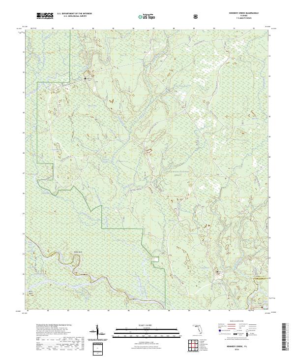
2024 Kennedy Creek
Liberty County, FL
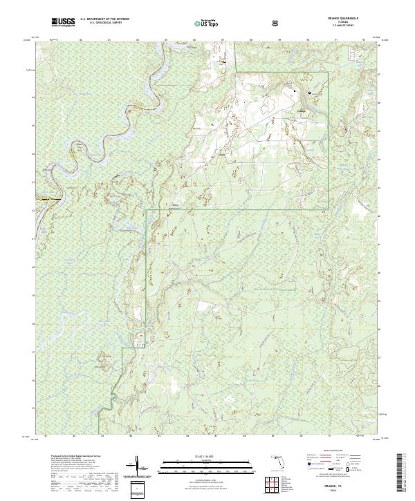
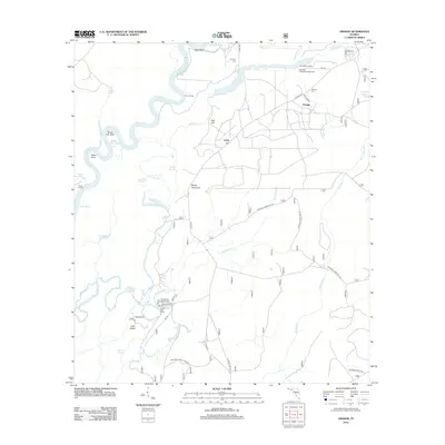
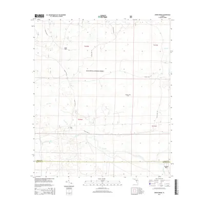
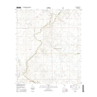
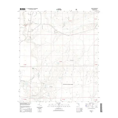
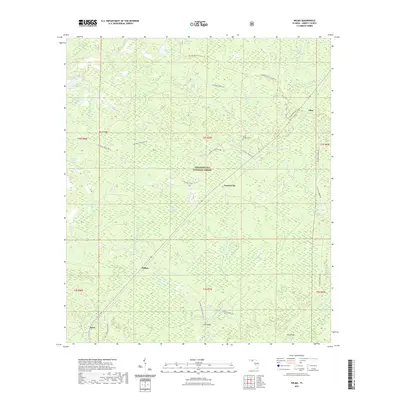
2024 Orange
Liberty County, FL
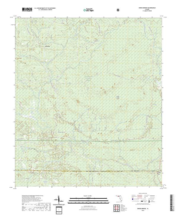
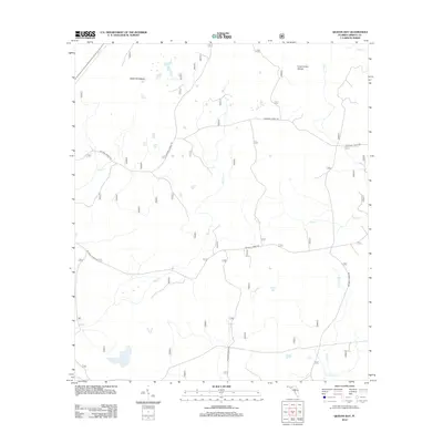
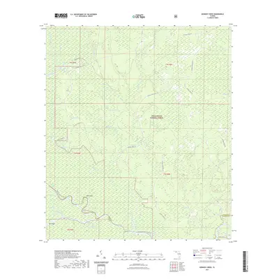
2024 Owens Bridge
Liberty County, FL
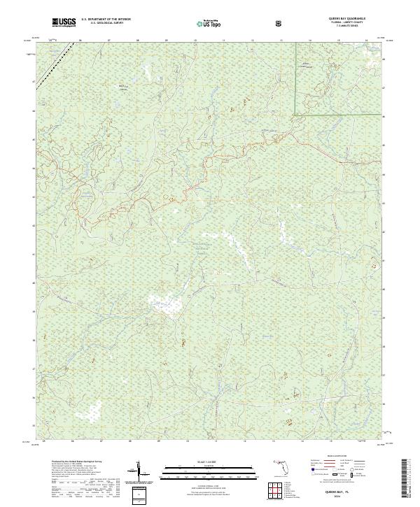
2024 Queens Bay
Liberty County, FL
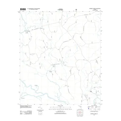
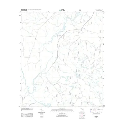
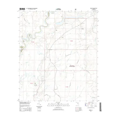
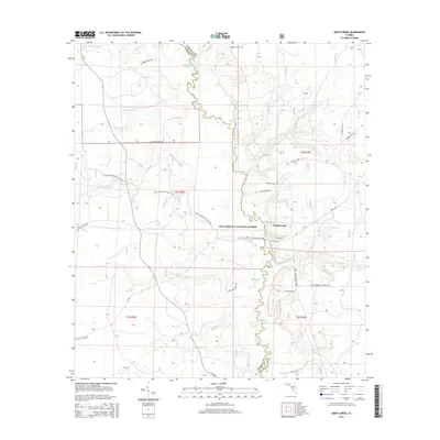
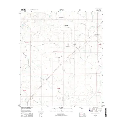
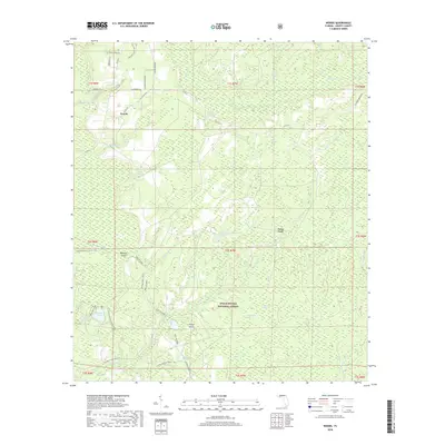
2024 Rock Bluff
Liberty County, FL
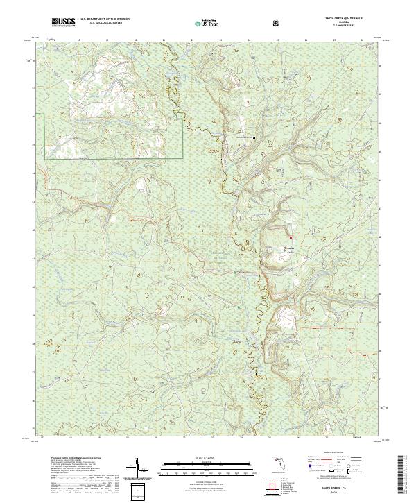
2024 Smith Creek
Liberty County, FL
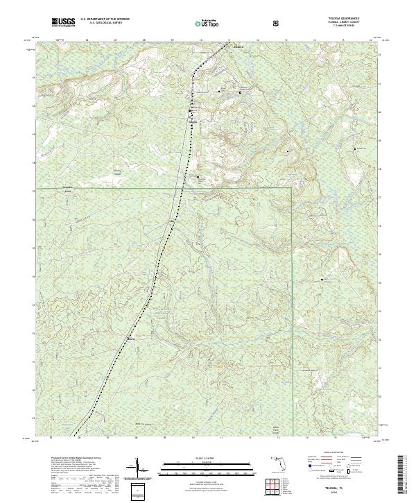
2024 Telogia
Liberty County, FL
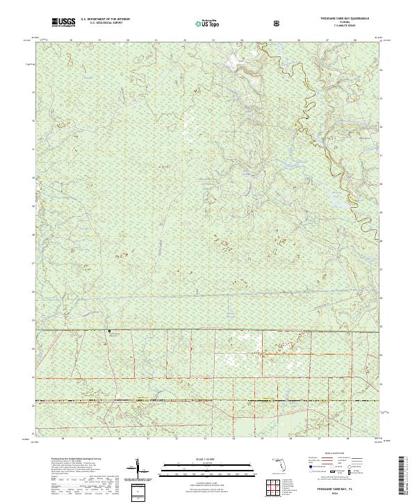
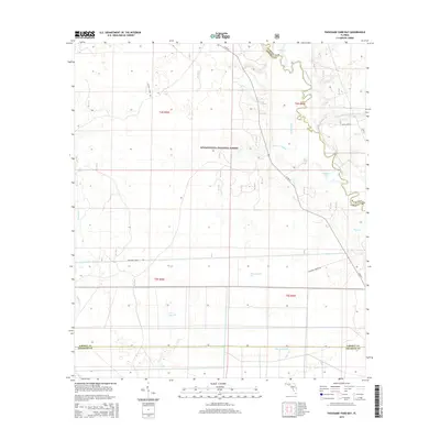
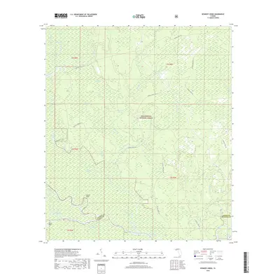
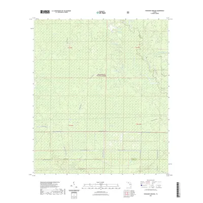
2024 Thousand Yard Bay
Liberty County, FL
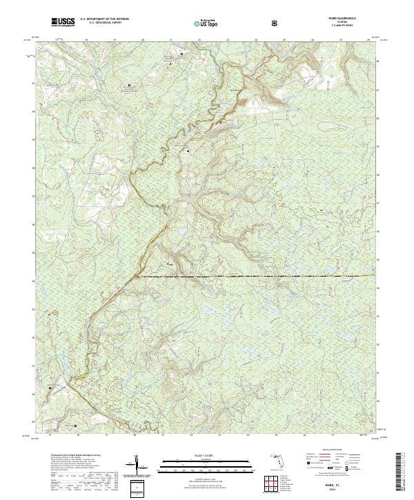
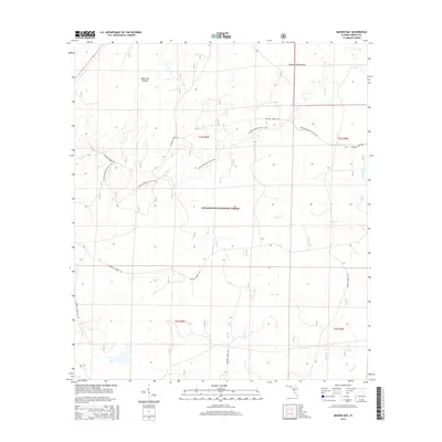
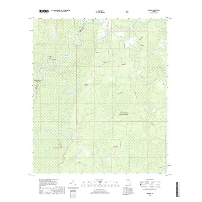
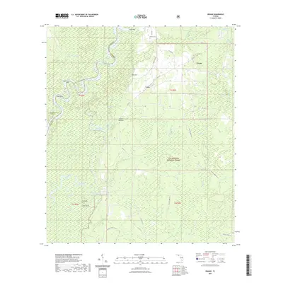
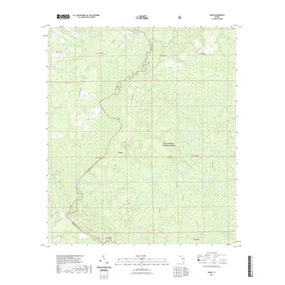
2024 Ward
Liberty County, FL
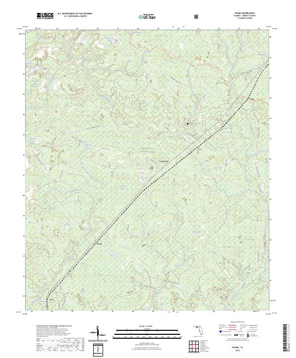
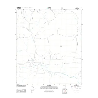
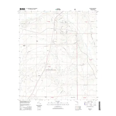
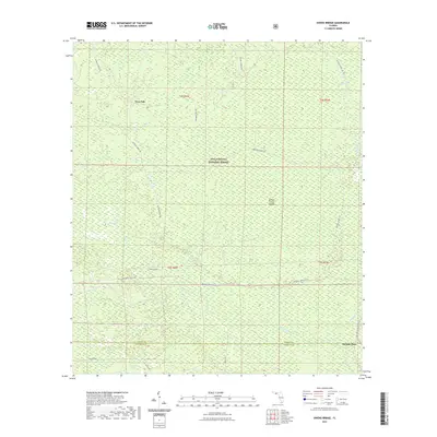
2024 Wilma
Liberty County, FL
2024 Woods
Liberty County, FL