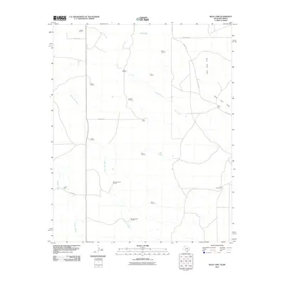
2010 Map of Rock Camp
USGS Topo · Published 2010About this map
Rock Camp and the surrounding ranchlands of Deaf Smith County define this High Plains landscape as it appeared in the early 21st century. The map reveals a highly specialized ranching infrastructure, characterized by an extensive network of family-named water sources such as Reeves Windmill, Love Windmill, and Peters Windmill. These features, along with Hill Tank and North Tank, signify the critical importance of water management in this arid region of the Texas Panhandle.
Find a feature on this map
27 named features on this map. Tap any name to fly to it.
Don’t see what you’re looking for? This feature index may not catch every label — zoom into the map to look around manually.
Map Details
Editions of this 2010 Rock Camp Map
This is the sole edition of this map. No revisions or reprints were ever made.
Other maps of this area

1954 · Tucumcari
USGS Topo · 1:250,000

1954 · Clovis
USGS Topo · 1:250,000

1958 · Clovis
USGS Topo · 1:250,000

1958 · Tucumcari
USGS Topo · 1:250,000

1966 · Moser Ranch
USGS Topo · 1:24,000

1966 · Sand Point
USGS Topo · 1:24,000

1968 · Rock Camp
USGS Topo · 1:24,000

1968 · Riley Camp
USGS Topo · 1:24,000

1968 · Bard
USGS Topo · 1:24,000

1968 · Glenrio
USGS Topo · 1:24,000