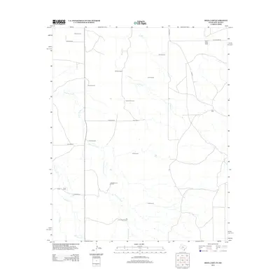
2012 Map of Rock Camp
USGS Topo · Published 2012About this map
Arroyo del Puerto and Arroyo Trujillo carve through this high plains landscape on the Texas-New Mexico border, defining a territory where water management is the primary marker of human activity. The density of named windmills across the range—including Pickett Windmill, Love Windmill, and Cottonwood Windmill—underscores the vital importance of groundwater to the cattle ranching operations at Purcell Ranch and Bowe Ranch.
Find a feature on this map
30 named features on this map. Tap any name to fly to it.
Don’t see what you’re looking for? This feature index may not catch every label — zoom into the map to look around manually.
Map Details
Editions of this 2012 Rock Camp Map
This is the sole edition of this map. No revisions or reprints were ever made.
Other maps of this area

1954 · Tucumcari
USGS Topo · 1:250,000

1954 · Clovis
USGS Topo · 1:250,000

1958 · Clovis
USGS Topo · 1:250,000

1958 · Tucumcari
USGS Topo · 1:250,000

1966 · Moser Ranch
USGS Topo · 1:24,000

1966 · Sand Point
USGS Topo · 1:24,000

1968 · Rock Camp
USGS Topo · 1:24,000

1968 · Riley Camp
USGS Topo · 1:24,000

1968 · Bard
USGS Topo · 1:24,000

1968 · Glenrio
USGS Topo · 1:24,000