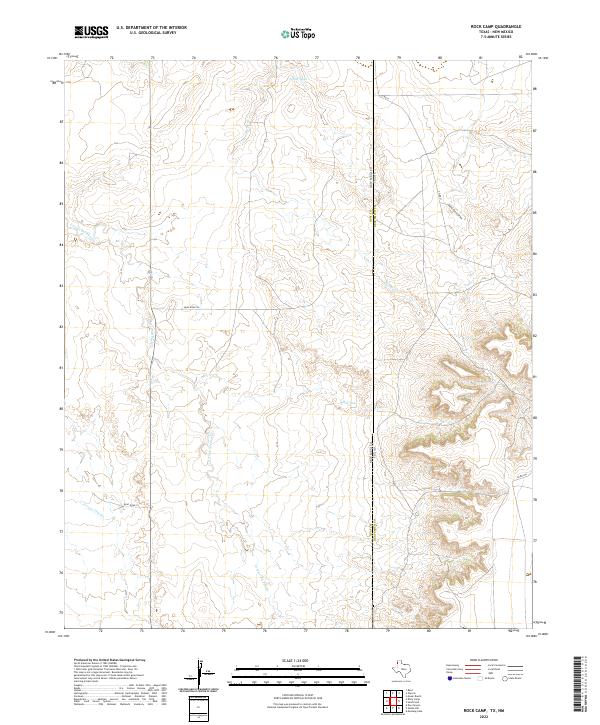
2022 Map of Rock Camp
USGS Topo · Published 2022About this map
Arroyo del Puerto winds through this high plains landscape at the border of Texas and New Mexico. The terrain is characterized by a series of ephemeral drainages and vital water catchments such as North Tank and Hill Tank, reflecting the essential water management required in this arid ranching environment. The boundary between Quay County and Deaf Smith County bisects the map, marking the transition from the Texas Panhandle into the LLano Estacado. Transportation is defined by a grid of rural routes, including Quay Road 56 and Co Rd 21, which provide access to this isolated area. The presence of Martha Cr and Arroyo Trujillo underscores the importance of natural drainage systems in an area where local geography is often dictated by the subtle shifts in elevation between draws.
Find a feature on this map
16 named features on this map. Tap any name to fly to it.
Don’t see what you’re looking for? This feature index may not catch every label — zoom into the map to look around manually.
Map Details
Editions of this 2022 Rock Camp Map
This is the sole edition of this map. No revisions or reprints were ever made.
Other maps of this area

1954 · Tucumcari
USGS Topo · 1:250,000

1954 · Clovis
USGS Topo · 1:250,000

1958 · Clovis
USGS Topo · 1:250,000

1958 · Tucumcari
USGS Topo · 1:250,000

1966 · Moser Ranch
USGS Topo · 1:24,000

1966 · Sand Point
USGS Topo · 1:24,000

1968 · Rock Camp
USGS Topo · 1:24,000

1968 · Riley Camp
USGS Topo · 1:24,000

1968 · Bard
USGS Topo · 1:24,000

1968 · Glenrio
USGS Topo · 1:24,000