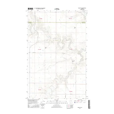
2017 Map of Rock City
USGS Topo · Published 2017About this map
Two Medicine River and Birch Creek carve through the high plains of this Pondera and Glacier County borderland. The landscape is defined by its water management systems, including the N Canal, Two M Canal, and AN Six Canal, which speak to the area's agricultural reliance on irrigation. Distinctive geological formations such as the namesake Rock City and the elevation of Lookout Butte provide vertical contrast to the surrounding terrain of Buffalo Ridge. Traces of earlier industry and transit are visible in the naming of Blair Mine Rd, suggesting a legacy of local resource extraction. The map also captures the path of Cut Bank Creek in the northeast and the seasonal drainage of Rocky Ridge Coulee, offering a detailed look at the hydrology of the western Montana prairie.
Find a feature on this map
25 named features on this map. Tap any name to fly to it.
Don’t see what you’re looking for? This feature index may not catch every label — zoom into the map to look around manually.
Map Details
Editions of this 2017 Rock City Map
This is the sole edition of this map. No revisions or reprints were ever made.
Other maps of this area

1907 · Blackfoot Res.
USGS Topo · 1:48,000

1909 · Cut Bank
USGS Topo · 1:125,000

1912 · Cut Bank
USGS Topo · 1:125,000

1920 · Dupuyer
USGS Topo · 1:125,000

1934 · Lake Frances
USGS Topo · 1:48,000

1934 · Valier
USGS Topo · 1:62,500

1937 · Valier
USGS Topo · 1:62,500

1937 · Lake Frances
USGS Topo · 1:62,500

1960 · Cut Bank
USGS Topo · 1:250,000

1963 · Cut Bank
USGS Topo · 1:250,000