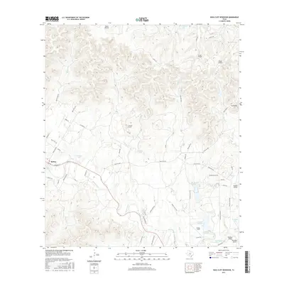
2016 Map of Rock Cliff Reservoir
USGS Topo · Published 2016About this map
The Medina River carves a deep valley through the limestone hills of Bandera County, anchoring a landscape defined by rugged canyons and private ranching interests. The community of Medina sits at the intersection of several local routes, including Ranch Rd 2828 and Broadway St, serving as a hub for the surrounding plateau. This 2016 survey illustrates a modern transition in land use, where traditional ranching geography meets newer aviation and recreational features.
Find a feature on this map
64 named features on this map. Tap any name to fly to it.
Don’t see what you’re looking for? This feature index may not catch every label — zoom into the map to look around manually.
Map Details
Editions of this 2016 Rock Cliff Reservoir Map
This is the sole edition of this map. No revisions or reprints were ever made.
Other maps of this area

1954 · San Antonio
USGS Topo · 1:250,000

1956 · Tarpley
USGS Topo · 1:62,500

1956 · Tuff
USGS Topo · 1:62,500

1956 · Bandera
USGS Topo · 1:62,500

1956 · Center Point
USGS Topo · 1:62,500

1957 · San Antonio
USGS Topo · 1:250,000

1964 · Center Point
USGS Topo · 1:24,000

1964 · Echo Hill Ranch
USGS Topo · 1:24,000

1964 · Bandera
USGS Topo · 1:24,000

1964 · Rock Cliff Reservoir
USGS Topo · 1:24,000