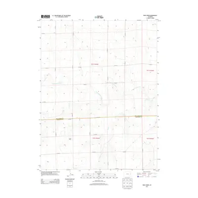
2013 Map of Rock Creek
USGS Topo · Published 2013About this map
High plains prairie and seasonal drainages define this border region between Kit Carson Co and Cheyenne Co in eastern Colorado. The topography is largely shaped by the meandering N Fork Smoky Hill River, which cuts across the center of the sheet alongside tributary systems like Cow Cr and Rock Cr. This area remains predominantly agricultural and rural, as evidenced by the rectilinear grid of township roads such as Co Road GG and Co Road 38 that segment the landscape into sections. The only named habitation on this survey is Windrift Ranch, illustrating the vast, open character of the High Plains ranching economy during the early 21st century. Researchers can trace the legacy of the Public Land Survey System through the detailed section and township labels like t011s r045w, which underpin the region's historic land ownership patterns.
Find a feature on this map
23 named features on this map. Tap any name to fly to it.
Don’t see what you’re looking for? This feature index may not catch every label — zoom into the map to look around manually.
Map Details
Editions of this 2013 Rock Creek Map
This is the sole edition of this map. No revisions or reprints were ever made.
Other maps of this area

1891 · Kit Carson
USGS Topo · 1:125,000

1892 · Cheyenne Wells
USGS Topo · 1:125,000

1893 · Kit Carson
USGS Topo · 1:125,000

1894 · Cheyenne Wells
USGS Topo · 1:125,000

1954 · Limon
USGS Topo · 1:250,000

1954 · Lamar
USGS Topo · 1:250,000

1957 · Limon
USGS Topo · 1:250,000

1958 · Limon
USGS Topo · 1:250,000

1958 · Lamar
USGS Topo · 1:250,000

1969 · Alpine Ranch NE
USGS Topo · 1:24,000