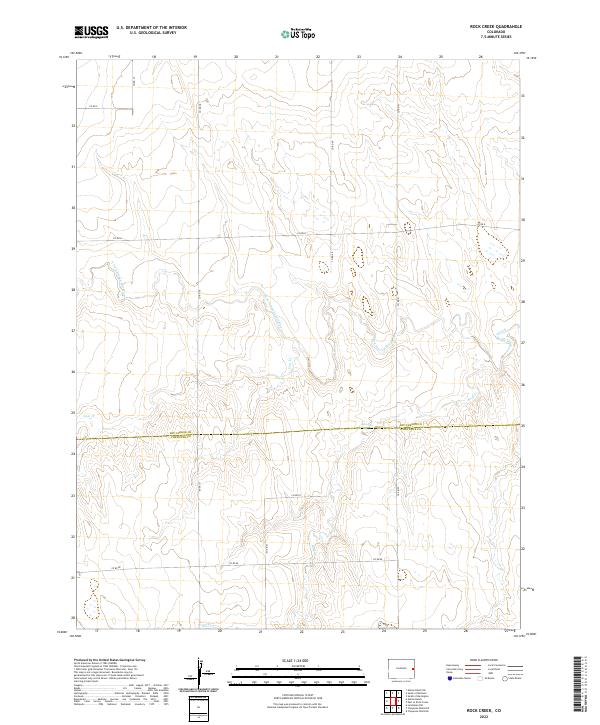
2022 Map of Rock Creek
USGS Topo · Published 2022About this map
The N Fork Smoky Hill River meanders across this High Plains landscape, marking a vital hydrological lifeline in an otherwise arid expanse. This modern survey captures the sparsely settled borderlands between Kit Carson County and Cheyenne County. The terrain is defined by low-relief drainage systems, where Rock Cr and Cow Cr feed into the larger river network. The map reveals a strict rectilinear grid of rural transit, with routes like Co RD D and Co RD 40 following township and section lines. This layout reflects the enduring influence of the Public Land Survey System on the Colorado prairie, maintaining a landscape of large-scale ranching and agricultural tracts where water remains the primary driver of geography.
Find a feature on this map
19 named features on this map. Tap any name to fly to it.
Don’t see what you’re looking for? This feature index may not catch every label — zoom into the map to look around manually.
Map Details
Editions of this 2022 Rock Creek Map
This is the sole edition of this map. No revisions or reprints were ever made.
Other maps of this area

1891 · Kit Carson
USGS Topo · 1:125,000

1892 · Cheyenne Wells
USGS Topo · 1:125,000

1893 · Kit Carson
USGS Topo · 1:125,000

1894 · Cheyenne Wells
USGS Topo · 1:125,000

1954 · Limon
USGS Topo · 1:250,000

1954 · Lamar
USGS Topo · 1:250,000

1957 · Limon
USGS Topo · 1:250,000

1958 · Limon
USGS Topo · 1:250,000

1958 · Lamar
USGS Topo · 1:250,000

1969 · Alpine Ranch NE
USGS Topo · 1:24,000