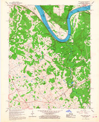
1960 Map of Rock Haven
USGS Topo · Published 1968About this map
The Ohio River curves sharply through this riverine landscape, serving as the border between Boone, Indiana, and the rolling terrain of Meade County, Kentucky. This 1960 revision reveals a corridor of historical transit and industry, anchored by the Louisville and Nashville Railroad and numerous river landings such as Brown Landing and Cedar Farm Landing. The northern reach is dominated by the Doe Run Gas Storage Field, while the southern half is largely consumed by the Fort Knox Military Reservation, which surrounds the former settlement of Grahamton. Between these zones, Otter Creek Park provides a pocket of recreation featuring Camp Piomingo and The Blue Hole. Genealogists will find a high density of burial sites, including the Garnettsville Cem and Bunger Cem, alongside local landmarks like the Doe Run Mill and the Buck Grove Ch.
Find a feature on this map
74 named features on this map. Tap any name to fly to it.
Don’t see what you’re looking for? This feature index may not catch every label — zoom into the map to look around manually.
Map Details
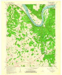
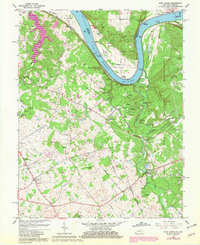
Editions of this 1960 Rock Haven Map
Other maps of this area

1909 · Kosmosdale
USGS Topo · 1:48,000

1912 · Kosmosdale
USGS Topo · 1:62,500

1931 · Corydon
USGS Topo · 1:62,500

1936 · Vine Grove
USGS Topo · 1:62,500

1941 · Ekron
USGS Topo · 1:62,500

1943 · Vine Grove
USGS Topo · 1:62,500

1946 · Rock Haven
USGS Topo · 1:24,000

1946 · Fort Knox
USGS Topo · 1:24,000

1946 · Vine Grove
USGS Topo · 1:24,000

1946 · Vine Grove
USGS Topo · 1:62,500