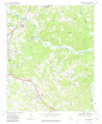
1968 Map of Rock Hill East
USGS Topo · Published 1980About this map
The Catawba River winds through the heart of York County, South Carolina, defining a landscape where industrial infrastructure and rural community life met in the late 1960s. To the west, the expansion of Rock Hill is evident through developments like the Filtration Plant and the County Tech Ed Center, while the Southern railroad corridor serves as a primary transit spine. The river's path is punctuated by landmarks such as Goat Island and a Gaging Station near the northern bend.
Find a feature on this map
45 named features on this map. Tap any name to fly to it.
Don’t see what you’re looking for? This feature index may not catch every label — zoom into the map to look around manually.
Map Details
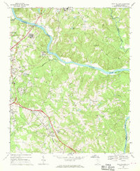
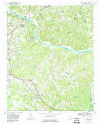
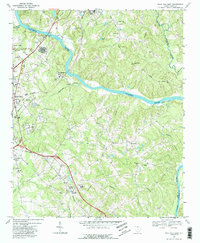
Editions of this 1968 Rock Hill East Map
4 editions found
Other maps of this area

1905 · Charlotte
USGS Topo · 1:48,000

1907 · Charlotte
USGS Topo · 1:62,500

1941 · Charlotte
USGS Topo · 1:125,000

1941 · Spartanburg
USGS Topo · 1:250,000

1942 · Charlotte
USGS Topo · 1:125,000

1947 · Clover
USGS Topo · 1:62,500

1949 · Clover
USGS Topo · 1:62,500

1949 · Rock Hill
USGS Topo · 1:62,500

1953 · Spartanburg
USGS Topo · 1:250,000

1953 · Charlotte
USGS Topo · 1:250,000