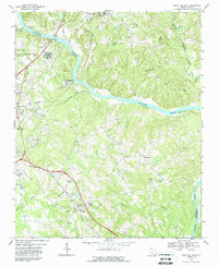
1968 Map of Rock Hill East
USGS Topo · Published 1988About this map
The Catawba River winds through this South Carolina landscape, serving as a boundary between York and Lancaster counties. To the west, the outskirts of Rock Hill show a growing infrastructure of industry and education, including a Filtration Plant, Sewage Disposal facilities, and the County Tech Ed Center. The Southern railroad creates a transit corridor through the countryside, passing the small community of Lesslie and the Hillcrest School.
Find a feature on this map
45 named features on this map. Tap any name to fly to it.
Don’t see what you’re looking for? This feature index may not catch every label — zoom into the map to look around manually.
Map Details
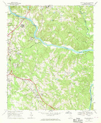
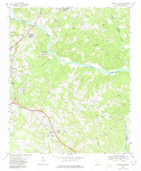
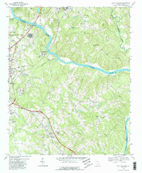
Editions of this 1968 Rock Hill East Map
4 editions found
Other maps of this area

1905 · Charlotte
USGS Topo · 1:48,000

1907 · Charlotte
USGS Topo · 1:62,500

1941 · Charlotte
USGS Topo · 1:125,000

1941 · Spartanburg
USGS Topo · 1:250,000

1942 · Charlotte
USGS Topo · 1:125,000

1947 · Clover
USGS Topo · 1:62,500

1949 · Clover
USGS Topo · 1:62,500

1949 · Rock Hill
USGS Topo · 1:62,500

1953 · Spartanburg
USGS Topo · 1:250,000

1953 · Charlotte
USGS Topo · 1:250,000