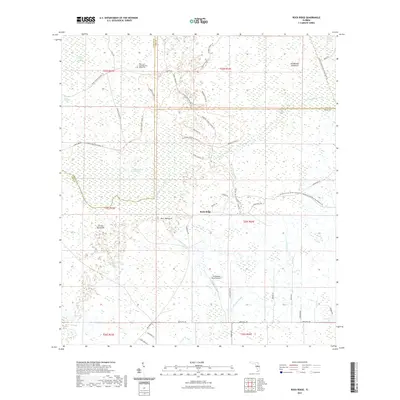
2021 Map of Rock Ridge
USGS Topo · Published 2021About this map
The Isham and Sarah Stewart Burial Site stands as a quiet genealogical marker within this sprawling wetland landscape where Sumter, Lake, and Polk counties meet. This area is defined by the complex hydrology of the Withlacoochee River Headwaters, where the Withlacoochee River Swamp dominates the terrain alongside features like Hart Hammock and Strand Hammock. The small settlement of Rock Ridge serves as a central point in a network of drainage systems including Gumbee Drain and Mattress Drain.
Find a feature on this map
50 named features on this map. Tap any name to fly to it.
Don’t see what you’re looking for? This feature index may not catch every label — zoom into the map to look around manually.
Map Details
Editions of this 2021 Rock Ridge Map
This is the sole edition of this map. No revisions or reprints were ever made.
Other maps of this area

1944 · Providence
USGS Topo · 1:31,680

1944 · Polk City
USGS Topo · 1:31,680

1944 · Socrum
USGS Topo · 1:31,680

1955 · Plant City
USGS Topo · 1:250,000

1955 · Orlando
USGS Topo · 1:250,000

1957 · Orlando
USGS Topo · 1:250,000

1958 · Orlando
USGS Topo · 1:250,000

1958 · Plant City
USGS Topo · 1:250,000

1959 · Plant City
USGS Topo · 1:250,000

1959 · Lake Nellie
USGS Topo · 1:24,000