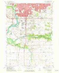
1971 Map of Rockford South
USGS Topo · Published 1973About this map
The Rock River corridor south of Rockford dominates this early 1970s landscape, showing the expansion of the city into southern Winnebago Co. The confluence of the Kishwaukee River and Killbuck Creek defines the southern portion of the map, where industrial gravel extraction and conservation efforts meet at the Kilbuck Bluffs Forest Preserve. This survey replaces a 1949 edition of Camp Grant, reflecting the post-war transition of military land into the Greater Rockford Airport and surrounding residential developments. Beyond the city limits, established rural communities like New Milford and Morristown are visible, along with several local landmarks such as Starkey Cem and the Grange Hall. The intricate network of railroads, including the Chicago Illinois and North Western, illustrates the area's continued importance as a Midwestern transportation hub.
Find a feature on this map
48 named features on this map. Tap any name to fly to it.
Don’t see what you’re looking for? This feature index may not catch every label — zoom into the map to look around manually.
Map Details
Editions of this 1971 Rockford South Map
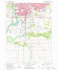
2 editions found
Other maps of this area

1917 · Kings
USGS Topo · 1:62,500

1918 · Rockford
USGS Topo · 1:62,500

1918 · Belvidere
USGS Topo · 1:62,500

1918 · Kings
USGS Topo · 1:62,500

1918 · Kirkland
USGS Topo · 1:62,500

1938 · Rockford
USGS Topo · 1:62,500

1944 · Belvidere
USGS Topo · 1:62,500

1949 · Camp Grant
USGS Topo · 1:24,000

1949 · Rockford
USGS Topo · 1:24,000

1954 · Rockford
USGS Topo · 1:250,000