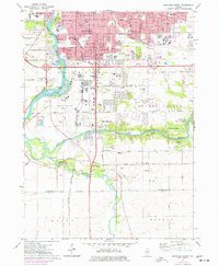
1971 Map of Rockford South
USGS Topo · Published 1977About this map
The southern outskirts of Rockford are defined by the convergence of industrial expansion and protected riparian landscapes in the early 1970s. Urban growth extends along the Rock River corridor, where the Greater Rockford Airport occupies a significant portion of the river bend opposite Blackhawk Island. The transition from city to country is marked by numerous neighborhood institutions, including St Edwards Sch and the Morris Kennedy Mid Sch, alongside recreational hubs like the Sandy Hollow Golf Course.
Find a feature on this map
67 named features on this map. Tap any name to fly to it.
Don’t see what you’re looking for? This feature index may not catch every label — zoom into the map to look around manually.
Map Details
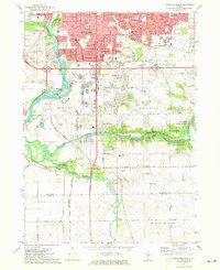
Editions of this 1971 Rockford South Map
2 editions found
Other maps of this area

1917 · Kings
USGS Topo · 1:62,500

1918 · Rockford
USGS Topo · 1:62,500

1918 · Belvidere
USGS Topo · 1:62,500

1918 · Kings
USGS Topo · 1:62,500

1918 · Kirkland
USGS Topo · 1:62,500

1938 · Rockford
USGS Topo · 1:62,500

1944 · Belvidere
USGS Topo · 1:62,500

1949 · Camp Grant
USGS Topo · 1:24,000

1949 · Rockford
USGS Topo · 1:24,000

1954 · Rockford
USGS Topo · 1:250,000