
1938 Map of Rockford
USGS Topo · Published 1954About this map
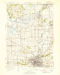
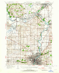
The Rock River corridor north of Rockford reveals a landscape dominated by the convergence of major waterways and rail systems during the late 1930s. The map captures the industrial and agricultural synergy of the Rock and Pecatonica River valleys, where the Chicago Milwaukee and St Paul and the Chicago and Northwestern railroads intersect. Local community life is deeply etched into the township structure, evidenced by a high density of rural schoolhouses like Sand Prairie School and Wempletown School, alongside specialized institutions such as the Winnebago County Boys Reform School. Small settlements like Harrison, Shirland, and Roscoe serve as transit points between the larger hubs of South Beloit and the growing urban center of Rockford, while landmarks like Latham Park and Holland Spring highlight early recreational and natural features of the riverbank.
Find a feature on this map
84 named features on this map. Tap any name to fly to it.
Don’t see what you’re looking for? This feature index may not catch every label — zoom into the map to look around manually.
Map Details
Editions of this 1938 Rockford Map
3 editions found
Other maps of this area

1891 · Janesville
USGS Topo · 1:62,500

1893 · Janesville
USGS Topo · 1:62,500

1893 · Brodhead
USGS Topo · 1:62,500

1893 · Shopiere
USGS Topo · 1:62,500

1917 · Kings
USGS Topo · 1:62,500

1918 · Rockford
USGS Topo · 1:62,500

1918 · Belvidere
USGS Topo · 1:62,500

1918 · Kings
USGS Topo · 1:62,500

1918 · Kirkland
USGS Topo · 1:62,500

1922 · Oregon
USGS Topo · 1:62,500