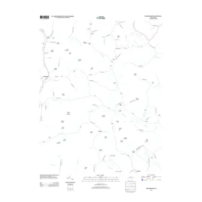
2013 Map of Rockholds
USGS Topo · Published 2013About this map
The Cumberland River and its winding tributaries define the topography of the Rockholds region in this 2013 survey. The community of Rockholds sits near the confluence of Watts Cr and Carr Cr, while Perkins and Louden anchor the southern reaches of the quadrangle. The terrain is marked by numerous ridges and hollows, such as King Mountain, Bald Knob, and Chestnut Oak Mountain. For genealogists, the map is a vital resource, identifying over a dozen burial sites including McNeil Cem, King Cem, and McFarland Cem. Local travel is facilitated by a network of rural routes like Old Corbin Rd and Springtown Rd. From the heights of Lawson High Top to the banks of Meadow Cr, the map illustrates a region where life follows the steep contours of the Appalachian foothills.
Find a feature on this map
114 named features on this map. Tap any name to fly to it.
Don’t see what you’re looking for? This feature index may not catch every label — zoom into the map to look around manually.
Map Details
Editions of this 2013 Rockholds Map
This is the sole edition of this map. No revisions or reprints were ever made.
Other maps of this area

1886 · Cumberland Gap
USGS Topo · 1:125,000

1888 · Cumberland Gap
USGS Topo · 1:125,000

1890 · Williamsburg
USGS Topo · 1:125,000

1891 · Cumberland Gap
USGS Topo · 1:125,000

1894 · Williamsburg
USGS Topo · 1:125,000

1952 · Corbin
USGS Topo · 1:24,000

1952 · Wofford
USGS Topo · 1:24,000

1952 · Barbourville
USGS Topo · 1:24,000

1952 · Heidrick
USGS Topo · 1:24,000

1952 · Vox
USGS Topo · 1:24,000