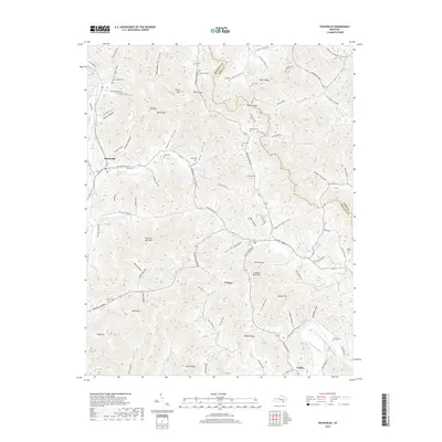
2019 Map of Rockholds
USGS Topo · Published 2019About this map
Rockholds and Perkins anchor this portion of the Cumberland Plateau, where the landscape is defined by a dense network of hollows and ridges along the Whitley Co Knox Co line. The topography is intricately carved by Watts Creek and Stotes Fork, with family-named landmarks such as McNeil Hollow and Jonny Hollow reflecting generations of local land use. The region’s deep genealogical roots are evident in the numerous small burial grounds dispersed throughout the terrain, including McNeil Cem, King Cem, and Davis Cem.
Find a feature on this map
100 named features on this map. Tap any name to fly to it.
Don’t see what you’re looking for? This feature index may not catch every label — zoom into the map to look around manually.
Map Details
Editions of this 2019 Rockholds Map
This is the sole edition of this map. No revisions or reprints were ever made.
Other maps of this area

1886 · Cumberland Gap
USGS Topo · 1:125,000

1888 · Cumberland Gap
USGS Topo · 1:125,000

1890 · Williamsburg
USGS Topo · 1:125,000

1891 · Cumberland Gap
USGS Topo · 1:125,000

1894 · Williamsburg
USGS Topo · 1:125,000

1952 · Corbin
USGS Topo · 1:24,000

1952 · Wofford
USGS Topo · 1:24,000

1952 · Barbourville
USGS Topo · 1:24,000

1952 · Heidrick
USGS Topo · 1:24,000

1952 · Vox
USGS Topo · 1:24,000