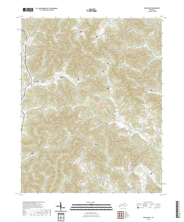
2022 Map of Rockholds
USGS Topo · Published 2022About this map
Rockholds serves as a central hub in this corner of Kentucky, where the topography is defined by the winding course of Watts Cr and Stotes Fork. The landscape is characterized by a dense network of named hollows and ridges, such as Imperial Hollow, Colonel Hollow, and Chestnut Oak Mtn. This settlement pattern suggests a deep-rooted history of valley-bottom farming and homesteading, with numerous family-named cemeteries like Davis Cem and Bays Cem tucked into the folds of the hills. Further south, the settlements of Perkins and Louden anchor the drainage basins of Phoebe Fork and the Cumberland River. The map reveals a transition from these sheltered hollows to high points like Lawson High Top and Sawyer Mtn, reflecting the specialized geography of the Cumberland Plateau.
Find a feature on this map
107 named features on this map. Tap any name to fly to it.
Don’t see what you’re looking for? This feature index may not catch every label — zoom into the map to look around manually.
Map Details
Editions of this 2022 Rockholds Map
This is the sole edition of this map. No revisions or reprints were ever made.
Other maps of this area

1886 · Cumberland Gap
USGS Topo · 1:125,000

1888 · Cumberland Gap
USGS Topo · 1:125,000

1890 · Williamsburg
USGS Topo · 1:125,000

1891 · Cumberland Gap
USGS Topo · 1:125,000

1894 · Williamsburg
USGS Topo · 1:125,000

1952 · Corbin
USGS Topo · 1:24,000

1952 · Wofford
USGS Topo · 1:24,000

1952 · Barbourville
USGS Topo · 1:24,000

1952 · Heidrick
USGS Topo · 1:24,000

1952 · Vox
USGS Topo · 1:24,000