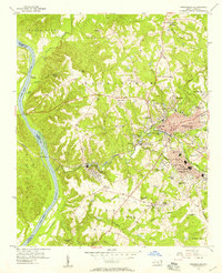
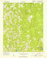
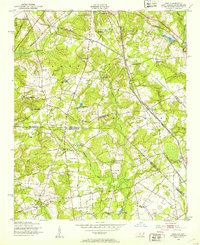
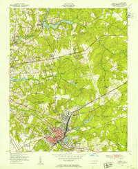
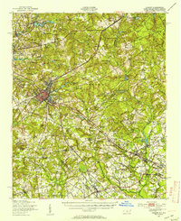
1956 Map of Rockingham
USGS Topo · Published 1957About this map
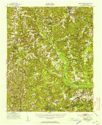
Industrial textile production and river-valley geography define this mid-century view of Rockingham and its satellite communities. The Pee Dee River forms the western boundary, its flow harnessed at Steeles Mill and reflected in several ponds like Great Falls Pond and Midway Pond. The landscape is a mosaic of small settlements and religious centers, including Cordova and Honey Town, alongside numerous rural houses of worship such as Stelley Tabernacle and New Diggs Chapel. Transportation networks are firmly established, with the Seaboard Air Line and the Rockingham Railroad cutting through the terrain to serve the local economy. From the State Prison Camp in the north to the Rockingham Hamlet Airport in the southeast, the map documents a region balancing agricultural roots with significant civic and industrial infrastructure.
Find a feature on this map
78 named features on this map. Tap any name to fly to it.
Don’t see what you’re looking for? This feature index may not catch every label — zoom into the map to look around manually.
Map Details
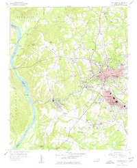
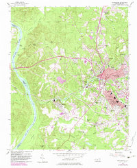
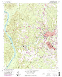
Editions of this 1956 Rockingham Map
4 editions found
Other maps of this area

1942 · Troy
USGS Topo · 1:125,000

1942 · Rockingham
USGS Topo · 1:125,000
1949 · Millstone Lake
USGS Topo · 1:24,000
1949 · Ghio
USGS Topo · 1:24,000
1949 · Hamlet
USGS Topo · 1:24,000
1949 · Hamlet
USGS Topo · 1:62,500
1949 · Jackson Springs
USGS Topo · 1:62,500

1953 · Florence
USGS Topo · 1:250,000

1953 · Raleigh
USGS Topo · 1:250,000

1954 · Florence
USGS Topo · 1:250,000