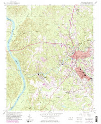
1956 Map of Rockingham
USGS Topo · Published 1983About this map
The Pee Dee River defines the western edge of this mid-century survey, marking the boundary between Richmond and Anson Counties. Industrial and civic development is centered in Rockingham and East Rockingham, where textile or milling operations are evidenced by features like Steeles Mill Pond and Great Falls Pond. The railroad infrastructure of the Seaboard Coast Line supports these growing centers, connecting the urban core to outlying residential pockets like Glenwood and the Richmond Park Extension.
Find a feature on this map
71 named features on this map. Tap any name to fly to it.
Don’t see what you’re looking for? This feature index may not catch every label — zoom into the map to look around manually.
Map Details
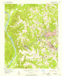
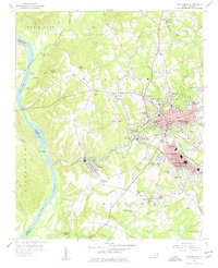
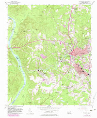
Editions of this 1956 Rockingham Map
4 editions found
Other maps of this area

1942 · Troy
USGS Topo · 1:125,000

1942 · Rockingham
USGS Topo · 1:125,000

1949 · Millstone Lake
USGS Topo · 1:24,000

1949 · Ghio
USGS Topo · 1:24,000

1949 · Hamlet
USGS Topo · 1:24,000

1949 · Hamlet
USGS Topo · 1:62,500

1949 · Jackson Springs
USGS Topo · 1:62,500

1953 · Florence
USGS Topo · 1:250,000

1953 · Raleigh
USGS Topo · 1:250,000

1954 · Florence
USGS Topo · 1:250,000