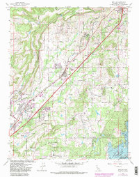
1967 Map of Rocklin
USGS Topo · Published 1981About this map
Rocklin Quarries and several mining sites anchor the industrial character of this Placer County landscape. The Southern Pacific railroad serves as the primary spine for development, linking the established settlements of Newcastle, Penryn, Loomis, and Rocklin. These towns are interconnected by Taylor Road, which runs parallel to the tracks and the corridor defined by Secret Ravine. To the south, the expansion of Roseville is evident near the Miners Ravine drainage.
Find a feature on this map
46 named features on this map. Tap any name to fly to it.
Don’t see what you’re looking for? This feature index may not catch every label — zoom into the map to look around manually.
Map Details
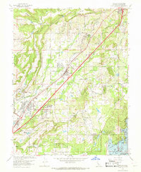
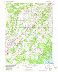
Editions of this 1967 Rocklin Map
3 editions found
Other maps of this area

1891 · Sacramento
USGS Topo · 1:125,000

1892 · Sacramento
USGS Topo · 1:125,000

1893 · Sacramento
USGS Topo · 1:125,000

1902 · Fairoaks
USGS Topo · 1:62,500

1910 · Lincoln
USGS Topo · 1:31,680

1910 · Roseville
USGS Topo · 1:31,680

1911 · Antelope
USGS Topo · 1:31,680

1914 · Folsom
USGS Topo · 1:31,680

1941 · Folsom
USGS Topo · 1:62,500
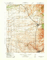
1942 · Markham Ravine
USGS Topo · 1:62,500