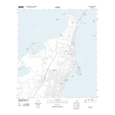
2010 Map of Rockport
USGS Topo · Published 2010About this map
Live Oak Peninsula serves as the focal point for this coastal survey, where the concentrated development of Rockport and Fulton meets the expansive waters of Copano Bay and Arkansas Bay. The landscape is defined by its maritime and industrial character, featuring the West Fulton Beach Gas and Oil Field and the Fulton Beach Gas and Oil Field north of the residential centers. Shoreline modifications are evident at Key Allegro and its associated Key Allegro Isle Marina, contrasting with the more natural points like Hannibal Point and Redfish Point.
Find a feature on this map
57 named features on this map. Tap any name to fly to it.
Don’t see what you’re looking for? This feature index may not catch every label — zoom into the map to look around manually.
Map Details
Editions of this 2010 Rockport Map
This is the sole edition of this map. No revisions or reprints were ever made.
Other maps of this area

1925 · Aransas Pass
USGS Topo · 1:62,500

1950 · Corpus Christi
USGS Topo · 1:250,000

1951 · Allyns Bight
USGS Topo · 1:24,000

1952 · St. Charles Bay SW
USGS Topo · 1:24,000

1952 · St. Charles Bay
USGS Topo · 1:24,000

1953 · Beeville
USGS Topo · 1:250,000

1954 · Rockport
USGS Topo · 1:62,500

1954 · Aransas Pass
USGS Topo · 1:24,000

1954 · Estes
USGS Topo · 1:24,000

1954 · Aransas Pass
USGS Topo · 1:62,500