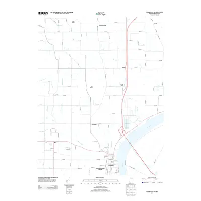
2013 Map of Rockport
USGS Topo · Published 2013About this map
Rockport serves as the focal point of this survey, positioned where the Ohio River bends sharply southward along the Indiana-Kentucky border. The town's grid is clearly defined, featuring prominent sites like the Lincoln Pioneer Village and the high vantage of Hanging Rock overlooking the river. Moving north, the landscape transitions from the river valley into a series of elevation points such as Fisher Knobs, Nix Hill, and Coal Knobs, which break up the surrounding agricultural flats.
Find a feature on this map
58 named features on this map. Tap any name to fly to it.
Don’t see what you’re looking for? This feature index may not catch every label — zoom into the map to look around manually.
Map Details
Editions of this 2013 Rockport Map
This is the sole edition of this map. No revisions or reprints were ever made.
Other maps of this area

1900 · St Meinrad
USGS Topo · 1:62,500

1900 · De Gonia Springs
USGS Topo · 1:62,500

1901 · Owensboro
USGS Topo · 1:62,500

1902 · Ditney
USGS Topo · 1:125,000

1902 · Degonia Springs
USGS Topo · 1:62,500

1903 · St. Meinrad
USGS Topo · 1:62,500

1903 · Tell City
USGS Topo · 1:62,500

1952 · Owensboro East
USGS Topo · 1:24,000

1952 · Rockport
USGS Topo · 1:24,000

1952 · Owensboro West
USGS Topo · 1:24,000