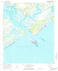
1960 Map of Rockville
USGS Topo · Published 1972About this map
Bohicket Creek meanders through this coastal landscape, separating Wadmalaw Island from Johns Island and Seabrook Island. The settlement of Rockville sits at a strategic bend in the creek, connected to the interior via Bohicket Road. To the west, the North Edisto River forms a wide tidal artery, while the southern shoreline is defined by the shifting sands of Seabrook Beach and Botany Bay Island. This coastal geography reveals a pattern of isolated settlements and maritime landmarks, including Little Rock Ch and St Johns Ch. The presence of Deveaux Bank at the mouth of the river indicates the dynamic nature of the South Carolina coast, where inlets like Captain Sams Inlet and Frampton Inlet constantly reshape the barrier island system.
Find a feature on this map
38 named features on this map. Tap any name to fly to it.
Don’t see what you’re looking for? This feature index may not catch every label — zoom into the map to look around manually.
Map Details
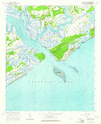
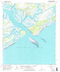
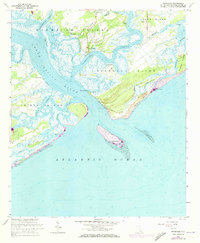
Editions of this 1960 Rockville Map
4 editions found
Other maps of this area

1918 · Kiawah Island
USGS Topo · 1:21,120

1919 · Edisto Island
USGS Topo · 1:62,500

1919 · Wadmelaw Island
USGS Topo · 1:62,500

1919 · Legareville
USGS Topo · 1:21,120

1920 · St. Helena Sound
USGS Topo · 1:62,500

1943 · Legareville
USGS Topo · 1:24,000

1943 · Edisto Island
USGS Topo · 1:62,500

1943 · Kiawah Island
USGS Topo · 1:24,000

1944 · Wadmelaw Island
USGS Topo · 1:62,500

1947 · Savannah
USGS Topo · 1:250,000