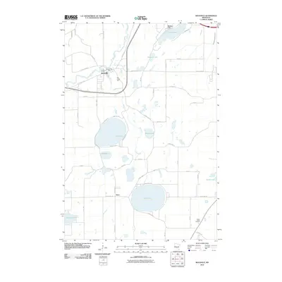
2010 Map of Rockville
USGS Topo · Published 2010About this map
The Sauk River winds through the northern reach of this Central Minnesota landscape, anchoring the settlement of Rockville. Water defines the geography here, where Mill Creek flows southward from the Mill Creek Dam, connecting a series of substantial glacial basins including Grand Lake, Rausch Lake, and the nearly circular Pearl Lake. These water bodies are interspersed with rural homesteads and agricultural tracts connected by a grid of county highways and local roads such as Glacier Rd and Agate Beach Rd.
Find a feature on this map
55 named features on this map. Tap any name to fly to it.
Don’t see what you’re looking for? This feature index may not catch every label — zoom into the map to look around manually.
Map Details
Editions of this 2010 Rockville Map
This is the sole edition of this map. No revisions or reprints were ever made.
Other maps of this area

1950 · St. Cloud
USGS Topo · 1:62,500

1951 · Annandale
USGS Topo · 1:62,500

1953 · Saint Cloud
USGS Topo · 1:250,000

1957 · Saint Cloud
USGS Topo · 1:250,000

1958 · Saint Cloud
USGS Topo · 1:250,000

1965 · St Joseph
USGS Topo · 1:24,000

1965 · Avon
USGS Topo · 1:24,000

1967 · Cold Spring
USGS Topo · 1:24,000

1967 · Watkins
USGS Topo · 1:24,000

1967 · Rockville
USGS Topo · 1:24,000