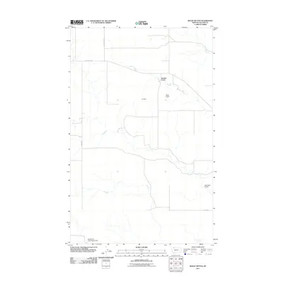
2011 Map of Rocky Buttes
USGS Topo · Published 2011About this map
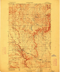
Glendale Colony serves as a central human settlement in this high plains landscape of Glacier County, situated amidst the complex drainage systems of the Montana prairie. The terrain is defined by prominent topographical rises such as Land Slide Butte and the namesake Rocky Buttes, which stand over a network of seasonal watercourses. These drainages, including Little Rock Coulee and the South Fork Little Rock Coulee, reveal the intricate erosional patterns typical of this region. Human intervention in the landscape is marked by the presence of Pish Dam, providing essential water management for the colony and local agricultural efforts. A sparse grid of rural routes, notably Chalk Butte Rd, Brown Rd, and Dudley Rd, provides the primary infrastructure for navigating this expansive northern Montana territory.
Find a feature on this map
9 named features on this map. Tap any name to fly to it.
Don’t see what you’re looking for? This feature index may not catch every label — zoom into the map to look around manually.
Map Details
Editions of this 2011 Rocky Buttes Map
This is the sole edition of this map. No revisions or reprints were ever made.
Other maps of this area
1907 · Blackfoot Res.
USGS Topo · 1:48,000
1909 · Cut Bank
USGS Topo · 1:125,000
1911 · Blackfoot
USGS Topo · 1:125,000
1912 · Cut Bank
USGS Topo · 1:125,000
1960 · Cut Bank
USGS Topo · 1:250,000
1963 · Cut Bank
USGS Topo · 1:250,000
1964 · Cut Bank
USGS Topo · 1:250,000
1966 · Gunsight
USGS Topo · 1:24,000
1968 · Buffalo Lake
USGS Topo · 1:24,000
1968 · Dead Indian Spring
USGS Topo · 1:24,000