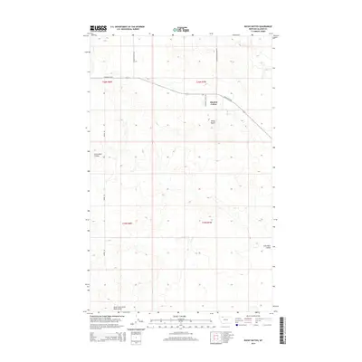
2014 Map of Rocky Buttes
USGS Topo · Published 2014About this map
Glendale Colony serves as the primary human settlement in this high plains landscape of Glacier County, situated near the prominent geological formations of the Rocky Buttes. The area is characterized by a network of drainage features, including the meandering Little Rock Coulee and the South Fork Little Rock Coulee to the south. This terrain is traversed by a grid of essential rural corridors such as Chalk Butte Rd and Landslide Butte Rd, which connect the isolated colony to the surrounding ranching and farming lands. The mapping detail highlights the intersection of local infrastructure and the natural topography of northern Montana, providing a clear view of the communal living patterns and land management in this specific quadrant of the state.
Find a feature on this map
13 named features on this map. Tap any name to fly to it.
Don’t see what you’re looking for? This feature index may not catch every label — zoom into the map to look around manually.
Map Details
Editions of this 2014 Rocky Buttes Map
This is the sole edition of this map. No revisions or reprints were ever made.
Other maps of this area

1907 · Blackfoot Res.
USGS Topo · 1:48,000

1909 · Cut Bank
USGS Topo · 1:125,000

1911 · Blackfoot
USGS Topo · 1:125,000

1912 · Cut Bank
USGS Topo · 1:125,000

1960 · Cut Bank
USGS Topo · 1:250,000

1963 · Cut Bank
USGS Topo · 1:250,000

1964 · Cut Bank
USGS Topo · 1:250,000
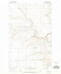
1966 · Gunsight
USGS Topo · 1:24,000

1968 · Buffalo Lake
USGS Topo · 1:24,000
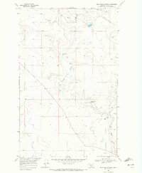
1968 · Dead Indian Spring
USGS Topo · 1:24,000