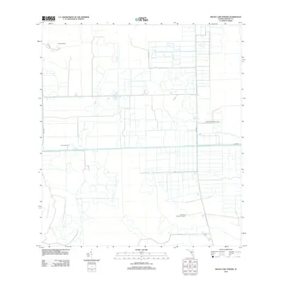
2012 Map of Rocky Lake Strand
USGS Topo · Published 2012About this map
Rocky Lake Strand defines the southern reach of this Hendry County landscape, where the natural hydrology of the Florida interior meets modern agricultural and aviation infrastructure. The map reveals a highly structured drainage and transport grid, anchored by the Devils Garden Strip Airport and the Mc Daniel Ranch Inc. Airport, suggesting a region heavily influenced by large-scale ranching operations and remote transport hubs.
Find a feature on this map
8 named features on this map. Tap any name to fly to it.
Don’t see what you’re looking for? This feature index may not catch every label — zoom into the map to look around manually.
Map Details
Editions of this 2012 Rocky Lake Strand Map
This is the sole edition of this map. No revisions or reprints were ever made.
Other maps of this area

1956 · West Palm Beach
USGS Topo · 1:250,000

1957 · West Palm Beach
USGS Topo · 1:250,000

1958 · West Palm Beach
USGS Topo · 1:250,000

1970 · Lake Harbor SW
USGS Topo · 1:24,000

1970 · La Belle 4 SE
USGS Topo · 1:24,000

1971 · La Belle 4 SW
USGS Topo · 1:24,000

1974 · Everglades 2 SW
USGS Topo · 1:24,000

1974 · Immokalee 1 SW
USGS Topo · 1:24,000

1974 · Immokalee 1 SE
USGS Topo · 1:24,000

1974 · Immokalee 1 NE
USGS Topo · 1:24,000