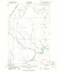
1955 Map of Rocky Mountain
USGS Topo · Published 1961About this map
The St John River flows through this remote northern Maine landscape, marking a territory defined by timber operations and international boundaries in the mid-1950s. The northern edge of the map tracks the border between Quebec and Maine, where the Little Black River and Campbell Branch navigate the thick forest. Scattered outposts like Campbell Depot Camp and the Forest Service Camp suggest the seasonal rhythms of the logging industry, while established sites like Ouellette Farm and Castonia Farm sit near the river's edge.
Find a feature on this map
43 named features on this map. Tap any name to fly to it.
Don’t see what you’re looking for? This feature index may not catch every label — zoom into the map to look around manually.
Map Details
Editions of this 1955 Rocky Mountain Map
3 editions found
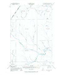
Other maps of this area

1930 · Allagash
USGS Topo · 1:48,000

1932 · Allagash Falls
USGS Topo · 1:48,000

1933 · Allagash
USGS Topo · 1:62,500

1935 · Allagash Falls
USGS Topo · 1:62,500

1954 · Presque Isle
USGS Topo · 1:250,000

1955 · Rocky Mountain
USGS Topo · 1:62,500

1955 · Little East Lake
USGS Topo · 1:62,500

1955 · Round Pond
USGS Topo · 1:62,500

1955 · Rocky Brook
USGS Topo · 1:62,500

1955 · Beau Lake
USGS Topo · 1:62,500