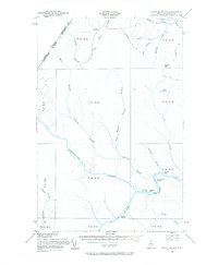
1955 Map of Rocky Mountain
USGS Topo · Published 1969About this map
The St John River carves a winding path through the deep timberlands of northern Aroostook County, serving as the dominant geographic feature of this mid-century boundary landscape. Along its banks, isolated outposts such as Ouellette Farm and Castonia Farm mark the limited agricultural footprint in an area otherwise defined by logging and forestry operations. The map highlights the primitive infrastructure of the era, including the Forest Service Camp and a Lookout Tower atop Rocky Mtn, which provided vital oversight of the surrounding woods.
Find a feature on this map
40 named features on this map. Tap any name to fly to it.
Don’t see what you’re looking for? This feature index may not catch every label — zoom into the map to look around manually.
Map Details
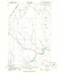
Editions of this 1955 Rocky Mountain Map
3 editions found
Other maps of this area

1930 · Allagash
USGS Topo · 1:48,000

1932 · Allagash Falls
USGS Topo · 1:48,000

1933 · Allagash
USGS Topo · 1:62,500

1935 · Allagash Falls
USGS Topo · 1:62,500

1954 · Presque Isle
USGS Topo · 1:250,000

1955 · Rocky Mountain
USGS Topo · 1:62,500

1955 · Little East Lake
USGS Topo · 1:62,500

1955 · Round Pond
USGS Topo · 1:62,500

1955 · Rocky Brook
USGS Topo · 1:62,500

1955 · Beau Lake
USGS Topo · 1:62,500