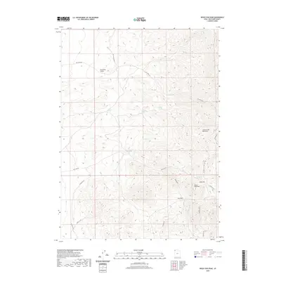
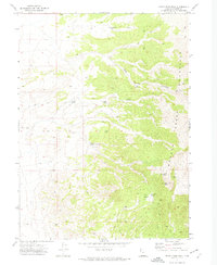
2020 Map of Rocky Pass Peak
USGS Topo · Published 2020About this map
Rocky Pass Peak and the high elevations of the Grouse Creek Mountains dominate this high-desert landscape in Box Elder County. The terrain is defined by its vital water sources, with numerous springs scattered across the ridges and canyons, including Keg Spring, Willow Springs, and Coal Mine Spring. This network of watering points has historically dictated travel and land use in this arid region, supporting both wildlife and livestock as well as early prospectors or miners suggested by local naming.
Find a feature on this map
20 named features on this map. Tap any name to fly to it.
Don’t see what you’re looking for? This feature index may not catch every label — zoom into the map to look around manually.
Map Details
Editions of this 2020 Rocky Pass Peak Map
This is the sole edition of this map. No revisions or reprints were ever made.
Other maps of this area

1954 · Brigham City
USGS Topo · 1:250,000

1958 · Brigham City
USGS Topo · 1:250,000

1962 · Brigham City
USGS Topo · 1:250,000
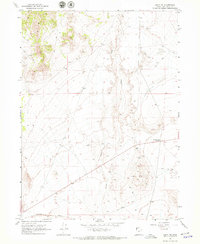
1967 · Lucin NW
USGS Topo · 1:24,000

1967 · Lucin NE
USGS Topo · 1:24,000

1971 · Emigrant Pass
USGS Topo · 1:24,000
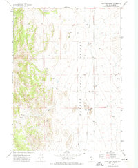
1971 · Toms Cabin Spring
USGS Topo · 1:24,000

1971 · Potters Creek
USGS Topo · 1:24,000
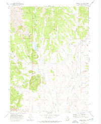
1971 · Grouse Creek
USGS Topo · 1:24,000
1971 · Rocky Pass Peak
USGS Topo · 1:24,000