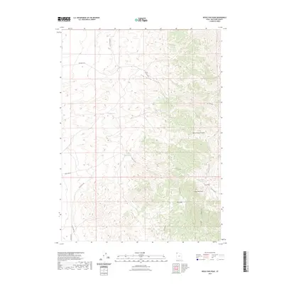
2023 Map of Rocky Pass Peak
USGS Topo · Published 2023About this map
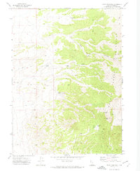
Rocky Pass Peak anchors this high-elevation landscape in the northwest corner of Utah, where the Grouse Creek Mountains rise above the surrounding basins. This territory is defined by its critical water sources, including a string of essential points like Coal Mine Spring, Cedar Spring, and Cluster Springs. The network of primitive roads, such as Keg Springs Rd and Rocky Pass Rd, suggests a landscape utilized for ranching and resource extraction, connecting the high ridges of Ingham Peak Ridge to the lower elevations of Mud Basin.
Find a feature on this map
20 named features on this map. Tap any name to fly to it.
Don’t see what you’re looking for? This feature index may not catch every label — zoom into the map to look around manually.
Map Details
Editions of this 2023 Rocky Pass Peak Map
This is the sole edition of this map. No revisions or reprints were ever made.
Other maps of this area

1954 · Brigham City
USGS Topo · 1:250,000

1958 · Brigham City
USGS Topo · 1:250,000

1962 · Brigham City
USGS Topo · 1:250,000
1967 · Lucin NW
USGS Topo · 1:24,000

1967 · Lucin NE
USGS Topo · 1:24,000

1971 · Emigrant Pass
USGS Topo · 1:24,000
1971 · Toms Cabin Spring
USGS Topo · 1:24,000

1971 · Potters Creek
USGS Topo · 1:24,000
1971 · Grouse Creek
USGS Topo · 1:24,000
1971 · Rocky Pass Peak
USGS Topo · 1:24,000