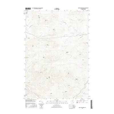
2016 Map of Rocky Peak Ridge
USGS Topo · Published 2016About this map
Rocky Peak Ridge and Giant Mtn dominate this high-elevation landscape in Essex County, where steep drainage networks define the terrain. The map details a complex hydrological system where Beede Brook and Roaring Brook flow from the central peaks toward the Boquet River in the southeast. Named summits like Hurricane Mtn and Knob Lock Mtn suggest a landscape primarily shaped by its verticality rather than settlement, with human presence limited to perimeter roads like Crowningshield Rd and Hurricane Rd.
Find a feature on this map
50 named features on this map. Tap any name to fly to it.
Don’t see what you’re looking for? This feature index may not catch every label — zoom into the map to look around manually.
Map Details
Editions of this 2016 Rocky Peak Ridge Map
This is the sole edition of this map. No revisions or reprints were ever made.
Other maps of this area

1894 · Elizabethtown
USGS Topo · 1:62,500

1895 · Elizabethtown
USGS Topo · 1:62,500

1895 · Mt. Marcy
USGS Topo · 1:62,500

1895 · Ausable
USGS Topo · 1:62,500

1896 · Lake Placid
USGS Topo · 1:62,500

1898 · Lake Placid
USGS Topo · 1:62,500

1901 · Elizabethtown
USGS Topo · 1:62,500

1902 · Mt. Marcy
USGS Topo · 1:62,500

1903 · Ausable
USGS Topo · 1:62,500

1950 · Lake Champlain
USGS Topo · 1:250,000