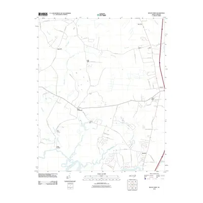
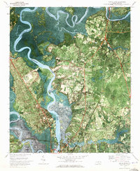
2010 Map of Rocky Point
USGS Topo · Published 2010About this map
The Northeast Cape Fear River defines the southern reach of this Pender County landscape, where the tidal influenced waters meet a network of tributary creeks. Low-lying wetlands and drainage patterns are central to the geography here, with Turkey Creek, Morgans Creek, and Rileys Creek carving through the terrain. The community of Rocky Point serves as a primary hub, situated near the Rocky Point Post Office and the regional rail line that parallels the highway corridor.
Find a feature on this map
58 named features on this map. Tap any name to fly to it.
Don’t see what you’re looking for? This feature index may not catch every label — zoom into the map to look around manually.
Map Details
Editions of this 2010 Rocky Point Map
This is the sole edition of this map. No revisions or reprints were ever made.
Other maps of this area
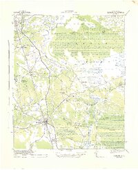
1942 · Burgaw
USGS Topo · 1:62,500
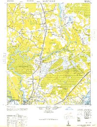
1947 · Rocky Point
USGS Topo · 1:62,500

1953 · Florence
USGS Topo · 1:250,000
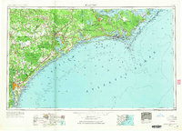
1953 · Beaufort
USGS Topo · 1:250,000

1954 · Florence
USGS Topo · 1:250,000
1954 · Beaufort
USGS Topo · 1:250,000
1954 · Acme
USGS Topo · 1:62,500
1955 · Atkinson
USGS Topo · 1:62,500
1970 · Scotts Hill
USGS Topo · 1:24,000
1970 · Castle Hayne
USGS Topo · 1:24,000