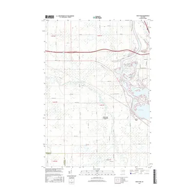
2015 Map of Rocky Run
USGS Topo · Published 2015About this map
The Wisconsin River dominates the eastern edge of this Portage County landscape, where its waters broaden into the Wisconsin River Flowage. The river's influence is clear in the surrounding wetland systems, including First Lake and the expanse of Fogarty Marsh. This 2015 survey captures a transitional zone between the river corridor and the agricultural uplands to the west, defined by the small settlement of Rocky Run and the Mill Creek Community. A network of rural roads like Main St and Town Hall Rd connect the scattered homesteads and woodlots typical of this part of central Wisconsin. To the south, the terrain softens into the Bear Creek Marsh near the Wood Co border, where Bear Creek meanders through low-lying ground.
Find a feature on this map
65 named features on this map. Tap any name to fly to it.
Don’t see what you’re looking for? This feature index may not catch every label — zoom into the map to look around manually.
Map Details
Editions of this 2015 Rocky Run Map
This is the sole edition of this map. No revisions or reprints were ever made.
Other maps of this area

1955 · Green Bay
USGS Topo · 1:250,000

1956 · Milladore
USGS Topo · 1:48,000

1956 · Stevens Point
USGS Topo · 1:48,000

1957 · Wisconsin Rapids
USGS Topo · 1:48,000

1957 · Whiting
USGS Topo · 1:48,000

1967 · Wisconsin Rapids
USGS Topo · 1:62,500

1970 · Junction City
USGS Topo · 1:24,000

1970 · Stevens Point
USGS Topo · 1:24,000
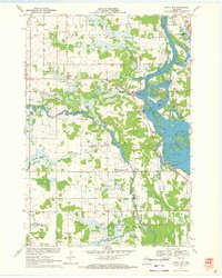
1970 · Rocky Run
USGS Topo · 1:24,000
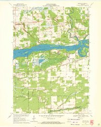
1970 · Meehan
USGS Topo · 1:24,000