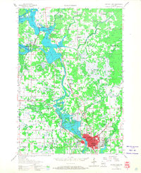
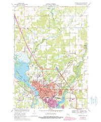
1970 Map of Stevens Point
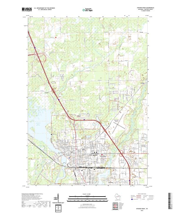
USGS Topo · Published 1972About this map
The Wisconsin River and its expansive Wisconsin River Flowage dominate the western edge of this 1970 survey, anchoring the industrial and educational hub of Stevens Point. At the heart of the city, the Wisconsin State University campus sits near a dense network of local schools and parishes, including Maria High Sch and St Stephen Sch. The cultural landscape is marked by numerous historic burial grounds such as St Stephens Cem and Union Cem, alongside the small neighboring community of Park Ridge. Transportation infrastructure is well-defined by the Soo Line railroad and the Stevens Point Municipal Airport. To the north, the terrain shifts into the wetlands of Dewey Marsh and the Hay Meadow Creek drainage, while smaller outlying settlements like Casimir and Torun reflect the rural township character of Hull during this period of mid-century growth.
Find a feature on this map
70 named features on this map. Tap any name to fly to it.
Don’t see what you’re looking for? This feature index may not catch every label — zoom into the map to look around manually.
Map Details
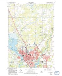
Editions of this 1970 Stevens Point Map
4 editions found
Historical Maps of Stevens Point Through Time
3 maps found