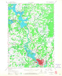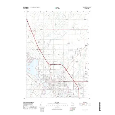
1970 Map of Stevens Point
USGS Topo · Published 1991About this map
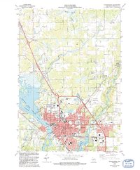
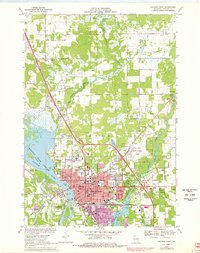
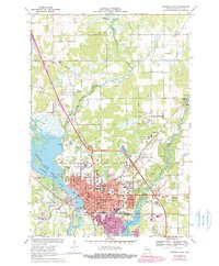
Wisconsin State University serves as a central landmark in this mid-century portrait of a growing college town, surrounded by a dense network of Catholic institutional history including the St Joseph Convent Cemetery and Maria High School. The city of Stevens Point is defined by its relationship with the water, bordered by the broad Wisconsin River Flowage to the west and the winding Plover River and McDill Pond to the east. The map captures the urban footprint before modern expansion, showing established neighborhoods in Park Ridge and the industrial presence of the Soo Line railroad. Beyond the city center, the landscape transitions into the agricultural and wetland stretches of Hull and Dewey, where smaller settlements like Torun and Casimir anchor rural crossroads near the expanse of the Dewey Marsh.
Find a feature on this map
56 named features on this map. Tap any name to fly to it.
Don’t see what you’re looking for? This feature index may not catch every label — zoom into the map to look around manually.
Map Details
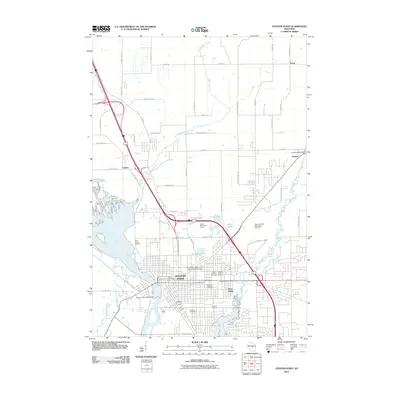
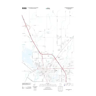
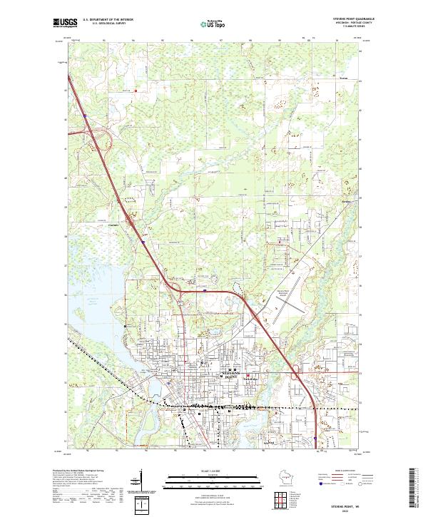
Editions of this 1970 Stevens Point Map
4 editions found
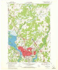
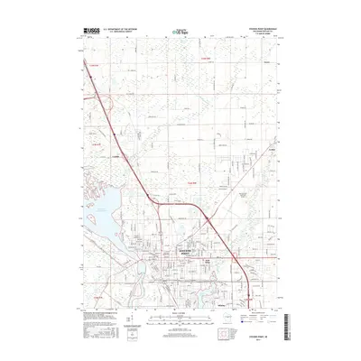
Historical Maps of Stevens Point Through Time
7 maps found