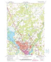
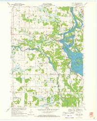
1970 Map of Stevens Point
USGS Topo · Published 1990About this map
The Wisconsin River and its expansive Wisconsin River Flowage dominate the western landscape of this mid-century portrait of Stevens Point. The city is a dense grid of civic and religious institutions, featuring the Courthouse and Public Square at its core. Educational history is remarkably well-documented, with numerous sites including Stevens Point High Sch, Maria High Sch, and specialized facilities like the Vocational Sch.
Find a feature on this map
63 named features on this map. Tap any name to fly to it.
Don’t see what you’re looking for? This feature index may not catch every label — zoom into the map to look around manually.
Map Details
Editions of this 1970 Stevens Point Map
4 editions found
Other maps of this area

1955 · Rosholt
USGS Topo · 1:48,000

1955 · Green Bay
USGS Topo · 1:250,000

1956 · Stevens Point
USGS Topo · 1:48,000

1957 · Amherst
USGS Topo · 1:48,000

1957 · Whiting
USGS Topo · 1:48,000

1969 · Arnott
USGS Topo · 1:24,000

1969 · Rosholt NW
USGS Topo · 1:24,000
1969 · Polonia
USGS Topo · 1:24,000

1970 · Stevens Point
USGS Topo · 1:24,000
1970 · Rocky Run
USGS Topo · 1:24,000