Loading...
Loading map...2021 Map of Rogers
USGS Topo · Published 2021About this map
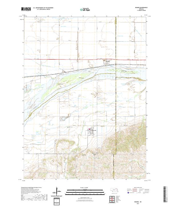
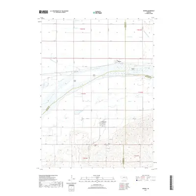
The Platte River corridor dominates this central Nebraska landscape, defining the boundaries where Colfax, Butler, Dodge, and Saunders counties meet. This survey reveals a complex riverine environment of braided channels and named landmasses including Murphy Island, Sheep Island, and School Island. To the north, the settlement of Rogers sits near the Hughes Payzant Ditch and Shell Creek, while the village of Linwood anchors the southern bluffs near Indian Hill.
Find a feature on this map
56 named features on this map. Tap any name to fly to it.
Don’t see what you’re looking for? This feature index may not catch every label — zoom into the map to look around manually.
Map Details
Date Portrayed2021
Date Published2021
PublisherU.S. Geological Survey
Map TypeTopographic
Scale1:24,000
Physical Dimensions24 x 29 inches
Editions of this 2021 Rogers Map
This is the sole edition of this map. No revisions or reprints were ever made.
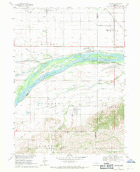
Historical Maps of Linwood Through Time
5 maps found
Featured Locations
Source Details
SourceU.S. Geological Survey
CopyrightPublic Domain