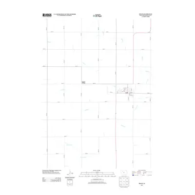
2013 Map of Rolfe
USGS Topo · Published 2013About this map
Rolfe serves as the primary hub of this Pocahontas County landscape, situated where the waters of Pilot Cr meet the local street grid. The town's layout is defined by thoroughfares like Broad St and Railroad St, reflecting its historical reliance on the rail corridor. Further west, the map identifies Rubens Siding, a specific point along the transit line that underscores the agricultural transport network essential to the region. The surrounding prairie is drained by a network of meandering waterways, including Crooked Cr and Beaver Cr, which cross the section lines of the township grid. In the southern reaches, the N Br Lizard Cr winds through the terrain, illustrating the natural drainage patterns that have shaped the development of these farmsteads and rural roads in Northwest Iowa.
Find a feature on this map
33 named features on this map. Tap any name to fly to it.
Don’t see what you’re looking for? This feature index may not catch every label — zoom into the map to look around manually.
Map Details
Editions of this 2013 Rolfe Map
This is the sole edition of this map. No revisions or reprints were ever made.
Other maps of this area

1954 · Fort Dodge
USGS Topo · 1:250,000

1957 · Fort Dodge
USGS Topo · 1:250,000

1958 · Fort Dodge
USGS Topo · 1:250,000

1979 · Pocahontas
USGS Topo · 1:24,000

1979 · Gilmore City
USGS Topo · 1:24,000

1979 · Palmer
USGS Topo · 1:24,000

1980 · Rolfe
USGS Topo · 1:24,000

1980 · Havelock
USGS Topo · 1:24,000
1980 · Mallard
USGS Topo · 1:24,000

1980 · Plover
USGS Topo · 1:24,000