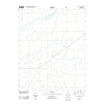
2012 Map of Roll SE
USGS Topo · Published 2012About this map
Canadian River channels sweep across the northern reaches of this Ellis County landscape, defining the local drainage patterns for the surrounding high plains. In this part of western Oklahoma, the terrain is characterized by broad vistas and occasional elevation shifts, such as Benham Hill, which rises prominently above the rolling prairie. The map provides essential data for those tracing local history or family ties, specifically marking the location of the Lone Bell Cem in the northwest corner. This area reflects the rural, sparsely populated nature of the region, where land use is dominated by wide agricultural plots and a grid of section-line roads that have organized the territory since the early days of settlement.
Find a feature on this map
3 named features on this map. Tap any name to fly to it.
Don’t see what you’re looking for? This feature index may not catch every label — zoom into the map to look around manually.
Map Details
Editions of this 2012 Roll SE Map
This is the sole edition of this map. No revisions or reprints were ever made.
Other maps of this area

1955 · Clinton
USGS Topo · 1:250,000

1957 · Clinton
USGS Topo · 1:250,000

1960 · Cheyenne
USGS Topo · 1:62,500

1960 · Hammon
USGS Topo · 1:62,500

1961 · Leedey
USGS Topo · 1:62,500

1965 · Roll NE
USGS Topo · 1:24,000

1965 · Roll NW
USGS Topo · 1:24,000

1966 · Roll
USGS Topo · 1:24,000

1966 · Roll SE
USGS Topo · 1:24,000

1984 · Foss Reservoir
USGS Topo · 1:100,000