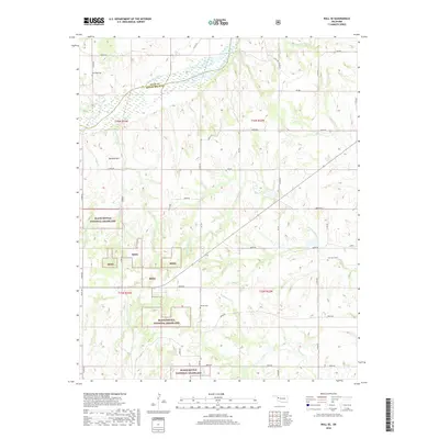
2018 Map of Roll SE
USGS Topo · Published 2018About this map
The Canadian River cuts through the northern reach of this landscape, marking the boundary between Ellis and Roger Mills Counties. The terrain is defined by a dense network of intermittent drainages including Quartermaster Cr, Ninemile Cr, and Sourdough Cr, which flow through the protected acreage of the Black Kettle National Grassland. These grasslands are interspersed with private holdings and a rectilinear grid of county roads such as E0840 Rd and N 1920 Rd.
Find a feature on this map
43 named features on this map. Tap any name to fly to it.
Don’t see what you’re looking for? This feature index may not catch every label — zoom into the map to look around manually.
Map Details
Editions of this 2018 Roll SE Map
This is the sole edition of this map. No revisions or reprints were ever made.
Other maps of this area

1955 · Clinton
USGS Topo · 1:250,000

1957 · Clinton
USGS Topo · 1:250,000

1960 · Cheyenne
USGS Topo · 1:62,500

1960 · Hammon
USGS Topo · 1:62,500

1961 · Leedey
USGS Topo · 1:62,500

1965 · Roll NE
USGS Topo · 1:24,000

1965 · Roll NW
USGS Topo · 1:24,000

1966 · Roll
USGS Topo · 1:24,000

1966 · Roll SE
USGS Topo · 1:24,000

1984 · Foss Reservoir
USGS Topo · 1:100,000