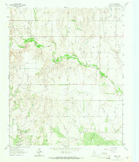
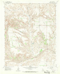
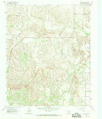
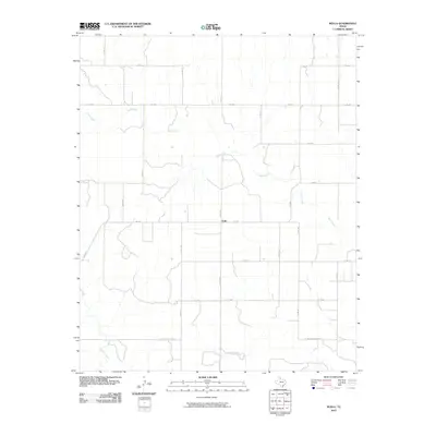
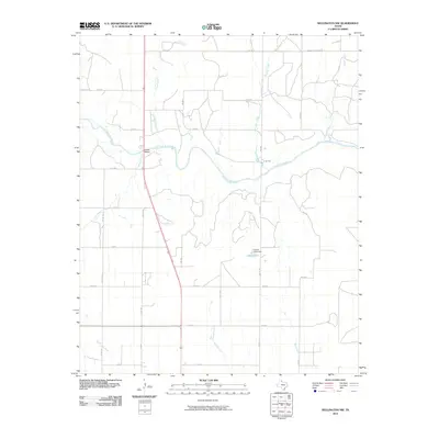
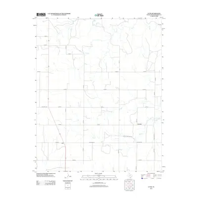
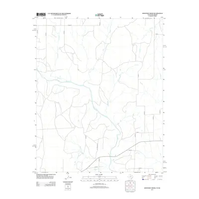
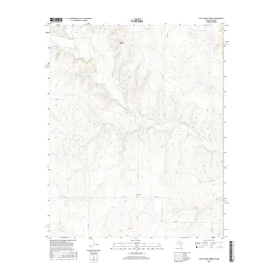
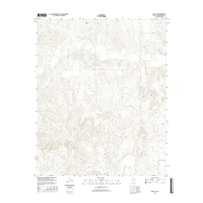
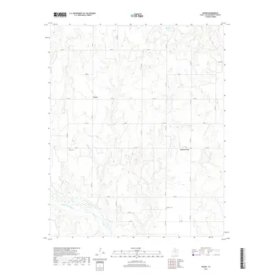
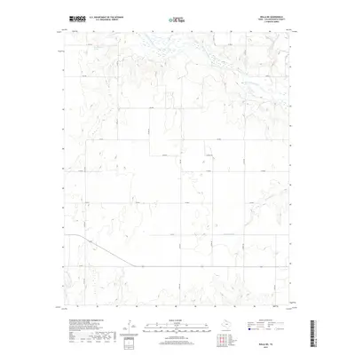
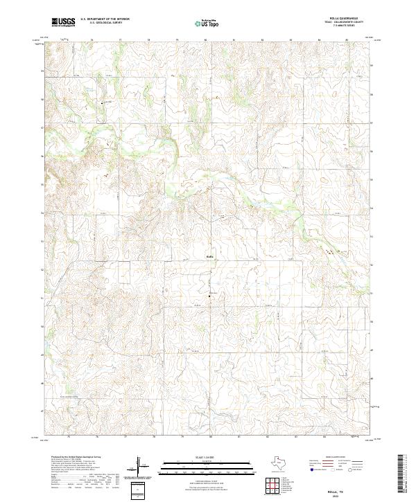
1964 Map of Rolla
USGS Topo · Published 1967About this map
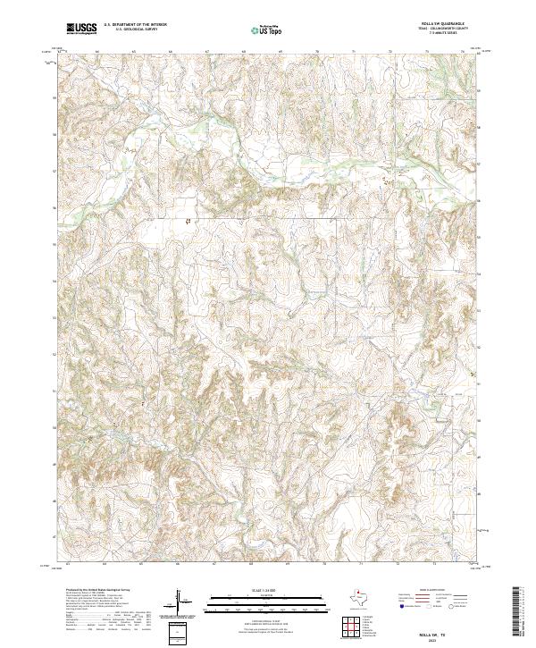
Buck Creek winds through the central landscape of this Collingsworth County survey, its path marked by sharp bluffs and scattered Gravel Pits that suggest the local geological activity of the mid-1960s. The settlement of Friendship serves as a local landmark in the northwest, centered around the Friendship Ch and a nearby cemetery. To the south, the terrain descends toward the Salt Fork, showing the transition from upland plains to the river breaks of the Texas Panhandle.
Find a feature on this map
7 named features on this map. Tap any name to fly to it.
Don’t see what you’re looking for? This feature index may not catch every label — zoom into the map to look around manually.
Map Details
Editions of this 1964 Rolla Map
This is the sole edition of this map. No revisions or reprints were ever made.
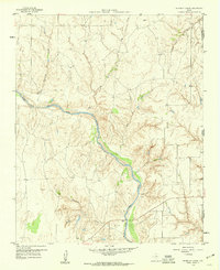
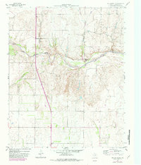
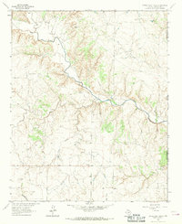
Historical Maps of Rolla Through Time
54 maps found
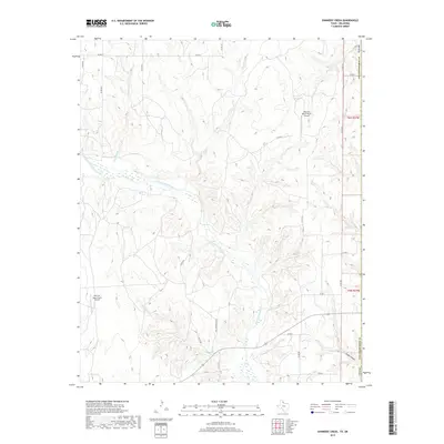
1959 Shinnery Creek
Collingsworth County, TX
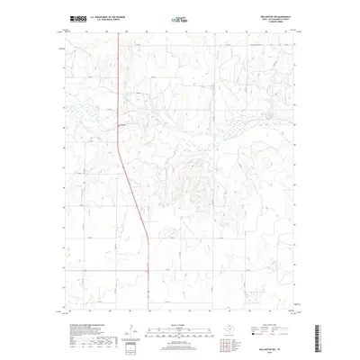
1959 Wellington NW
Collingsworth County, TX
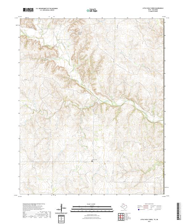
1963 Little Wolf Creek
Collingsworth County, TX
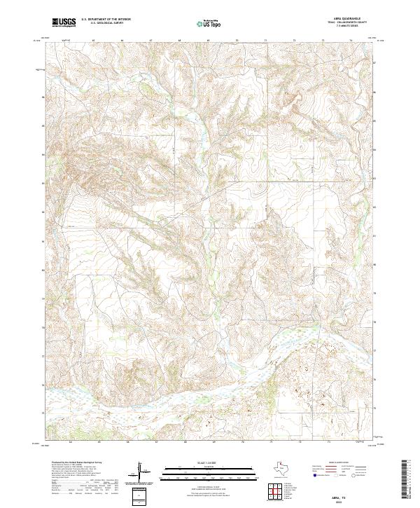
1964 Abra
Collingsworth County, TX
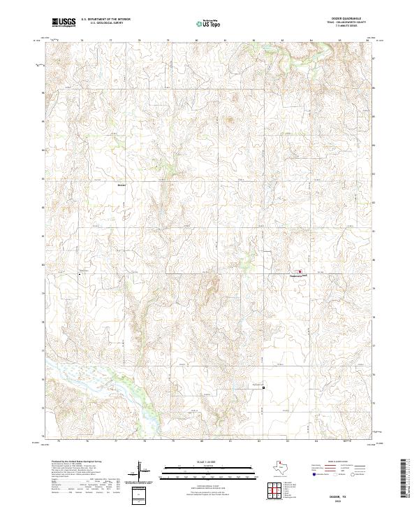
1964 Dozier
Collingsworth County, TX
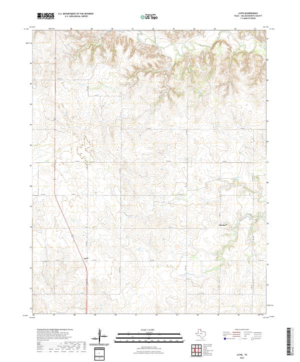
1964 Lutie
Collingsworth County, TX
1964 Rolla
Collingsworth County, TX
1964 Rolla NE
Collingsworth County, TX
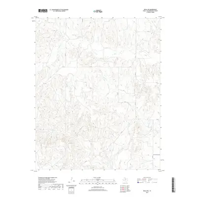
1964 Rolla SW
Collingsworth County, TX
2010 Abra
Collingsworth County, TX
2010 Dozier
Collingsworth County, TX

2010 Little Wolf Creek
Collingsworth County, TX
2010 Lutie
Collingsworth County, TX
2010 Rolla
Collingsworth County, TX
2010 Rolla NE
Collingsworth County, TX
2010 Rolla SW
Collingsworth County, TX
2010 Shinnery Creek
Collingsworth County, TX
2010 Wellington NW
Collingsworth County, TX
2012 Abra
Collingsworth County, TX
2012 Dozier
Collingsworth County, TX
2012 Little Wolf Creek
Collingsworth County, TX
2012 Lutie
Collingsworth County, TX
2012 Rolla
Collingsworth County, TX
2012 Rolla NE
Collingsworth County, TX
2012 Rolla SW
Collingsworth County, TX
2012 Shinnery Creek
Collingsworth County, TX
2012 Wellington NW
Collingsworth County, TX
2016 Abra
Collingsworth County, TX
2016 Dozier
Collingsworth County, TX
2016 Little Wolf Creek
Collingsworth County, TX
2016 Lutie
Collingsworth County, TX
2016 Rolla
Collingsworth County, TX
2016 Rolla NE
Collingsworth County, TX
2016 Rolla SW
Collingsworth County, TX
2016 Shinnery Creek
Collingsworth County, TX
2016 Wellington NW
Collingsworth County, TX
2019 Abra
Collingsworth County, TX
2019 Dozier
Collingsworth County, TX
2019 Little Wolf Creek
Collingsworth County, TX
2019 Lutie
Collingsworth County, TX
2019 Rolla
Collingsworth County, TX
2019 Rolla NE
Collingsworth County, TX
2019 Rolla SW
Collingsworth County, TX
2019 Shinnery Creek
Collingsworth County, TX
2019 Wellington NW
Collingsworth County, TX
2022 Abra
Collingsworth County, TX
2022 Dozier
Collingsworth County, TX
2022 Little Wolf Creek
Collingsworth County, TX
2022 Lutie
Collingsworth County, TX
2022 Rolla
Collingsworth County, TX
2022 Rolla NE
Collingsworth County, TX
2022 Shinnery Creek
Collingsworth County, TX
2022 Wellington NW
Collingsworth County, TX
2023 Rolla SW
Collingsworth County, TX