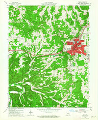
1963 Map of Rolla
USGS Topo · Published 1964About this map
The Missouri School of Mines anchors the urban core of Rolla during a period of significant mid-century expansion. While the town grid extends south toward Lions Park and the Regional Fairground, the western outskirts show a landscape in transition as Interstate highway segments are marked Under Construction. This development cuts through the hills toward the settlement of Doolittle, effectively bypassing older rural landmarks like Strawhun School and the Landing Strip near Martin Spring.
Find a feature on this map
67 named features on this map. Tap any name to fly to it.
Don’t see what you’re looking for? This feature index may not catch every label — zoom into the map to look around manually.
Map Details
Editions of this 1963 Rolla Map
3 editions found
Other maps of this area
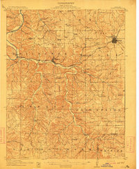
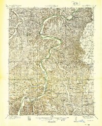
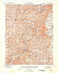
1912 · Rolla
USGS Topo · 1:62,500
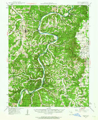
1928 · Meramec Spring
USGS Topo · 1:62,500

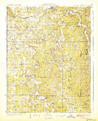
1934 · Redbird
USGS Topo · 1:62,500
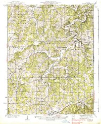
1937 · Vienna
USGS Topo · 1:62,500
1938 · Redbird
USGS Topo · 1:62,500
1938 · Vienna
USGS Topo · 1:48,000

1949 · Saint Louis
USGS Topo · 1:250,000
1949 · Vienna
USGS Topo · 1:62,500

1949 · Rolla
USGS Topo · 1:250,000
1949 · Meramec Spring
USGS Topo · 1:62,500